

Traffic signsGermany
 Traffic rules
 Germany
 Priority signs
 Warning signs
 Prohibitory signs
 Mandatory signs
 Information signs
 Additional signs
Traffic signs
A traffic sign is a standardised visual symbol placed along roads to guide, warn, or regulate drivers, cyclists, and pedestrians. These signs provide essential information about road conditions, rules, directions, and potential hazards, helping to ensure safety and smooth traffic flow. They come in various shapes and colours—such as triangular warning signs, circular prohibitory or mandatory signs, and rectangular information signs—each designed for quick recognition and clear understanding.
How are traffic signs grouped in Germany?
The StVO groups signs into danger signs, regulatory signs and guidance signs. Regulatory signs include both obligations and prohibitions.
Is a temporary speed limit at roadworks binding in Germany?
Where an authorised temporary regulatory speed limit is in force, you must obey it. A roadworks warning alone should not be mistaken for a new numerical limit, but conditions may require driving more slowly.

101. Snow chains mandatory
This traffic sign indicates that snow chains are mandatory. Vehicles covered by the sign must use snow chains from this point as required by the applicable rules. Follow any supplementary signs or local instructions specifying the affected vehicles, wheels or conditions.

English • Traffic sign 268 • Snow chains compulsory.
Deutsch • Verkehrszeichen 268 • Schneeketten vorgeschrieben.
Sources
🔗 Commons.wikimedia.org
🔗 Verwaltungsvorschriften-im-internet.de • VzKat, Anhang (Gesamtübersicht)
Image via Commons.wikimedia.org
vectorized by • Public domain • Source revision 2017-08-28. Wikimedia original unmodified.
102. Start of a minimum speed
This traffic sign indicates the start of a minimum speed. Road users covered by the sign must travel at or above the indicated speed when conditions allow. Driving more slowly may still be necessary because of traffic, weather, road conditions or another safety-related reason.

English • Traffic sign 275 • Compulsory minimum speed (the sub-number, in whole tens only, represents the numerical value).
Deutsch • Verkehrszeichen 275 • Vorgeschriebene Mindestgeschwindigkeit (Unternummer (nur volle Zehner) steht jeweils für den Zahlenwert).
Sources
🔗 Commons.wikimedia.org
🔗 Verwaltungsvorschriften-im-internet.de • VzKat, Anhang (Gesamtübersicht)
Image via Commons.wikimedia.org
erstes Hochladen einer Datei durch Andreas 06; nach den historischen Vorgaben 2017 korrekt interpretiert und digital umgesetzt durch Mediatus • Public domain • Source revision 2017-09-09. Wikimedia original unmodified.
103. End of the minimum speed
This traffic sign indicates the end of the minimum speed. The previously indicated minimum speed no longer applies beyond this point. Continue to follow any other posted speed requirements and the applicable traffic rules.
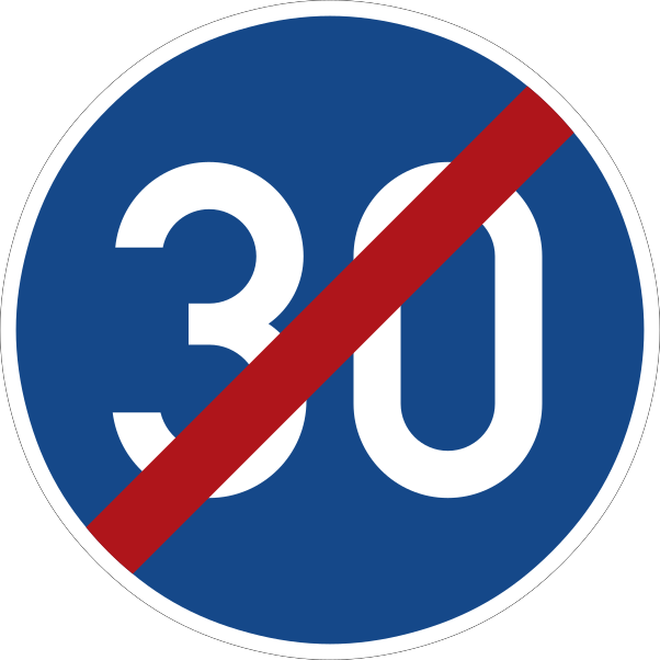
English • Traffic sign 279 • End of compulsory minimum speed (the sub-number, in whole tens only, represents the numerical value).
Deutsch • Verkehrszeichen 279 • Ende der vorgeschriebenen Mindestgeschwindigkeit (Unternummer (nur volle Zehner) steht jeweils für den Zahlenwert).
Sources
🔗 Commons.wikimedia.org
🔗 Verwaltungsvorschriften-im-internet.de • VzKat, Anhang (Gesamtübersicht)
Image via Commons.wikimedia.org
Unknown author • Public domain • Source revision 2017-09-09. Wikimedia original unmodified.
104. Start of a priority road
This traffic sign indicates the start of a priority road. Drivers on the priority road normally have priority over traffic entering from side roads until the priority road ends, unless traffic lights, other signs or applicable traffic rules indicate otherwise.
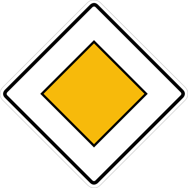
English • Traffic sign 306 • Priority road.
Deutsch • Verkehrszeichen 306 • Vorfahrtstraße.
Sources
🔗 Commons.wikimedia.org
🔗 Verwaltungsvorschriften-im-internet.de • VzKat, Anhang (Gesamtübersicht)
Image via Commons.wikimedia.org
2006: ursprüngliche Datei: Andreas 06; 2017: komplett neue und authentisch gestaltete Datei: nach den historischen Vorgaben digital umgesetzt durch Mediatus • Public domain • Source revision 2017-04-27. Wikimedia original unmodified.
105. End of the priority road
This traffic sign indicates the end of the priority road. The road no longer has continuing priority at subsequent intersections. Follow the applicable traffic lights, priority signs and default priority rules.
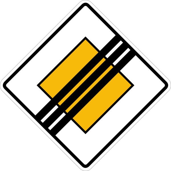
English • Traffic sign 307 • End of priority road.
Deutsch • Verkehrszeichen 307 • Ende der Vorfahrtstraße.
Sources
🔗 Commons.wikimedia.org
🔗 Verwaltungsvorschriften-im-internet.de • VzKat, Anhang (Gesamtübersicht)
Image via Commons.wikimedia.org
2006: ursprüngliche Datei: Andreas 06; 2017: komplett neue und authentisch gestaltete Datei: nach den historischen Vorgaben digital umgesetzt durch Mediatus • Public domain • Source revision 2017-04-26. Wikimedia original unmodified.
106. City limit
This traffic sign indicates a city or town limit. It marks the boundary or entrance of the named locality. Any traffic rules associated with the boundary depend on the applicable local regulations.
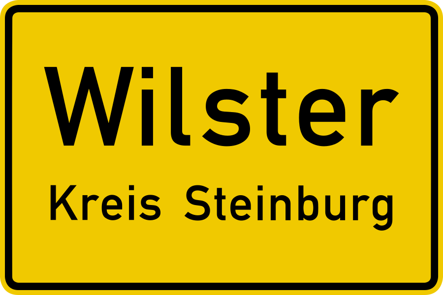
English • Traffic sign 310 • Town boundary sign — front.
Deutsch • Verkehrszeichen 310 • Ortstafel Vorderseite.
Sources
🔗 Commons.wikimedia.org
🔗 Verwaltungsvorschriften-im-internet.de • VzKat, Anhang (Gesamtübersicht)
Image via Commons.wikimedia.org
Nach den amtlichen Vorgaben digital umgesetzt durch: Mediatus • Public domain • Source revision 2017-08-20. Wikimedia original unmodified.
107. End of city limit
This traffic sign indicates the end of the city or town limit. The named locality ends at this point. Follow the traffic signs and rules that apply beyond the boundary.
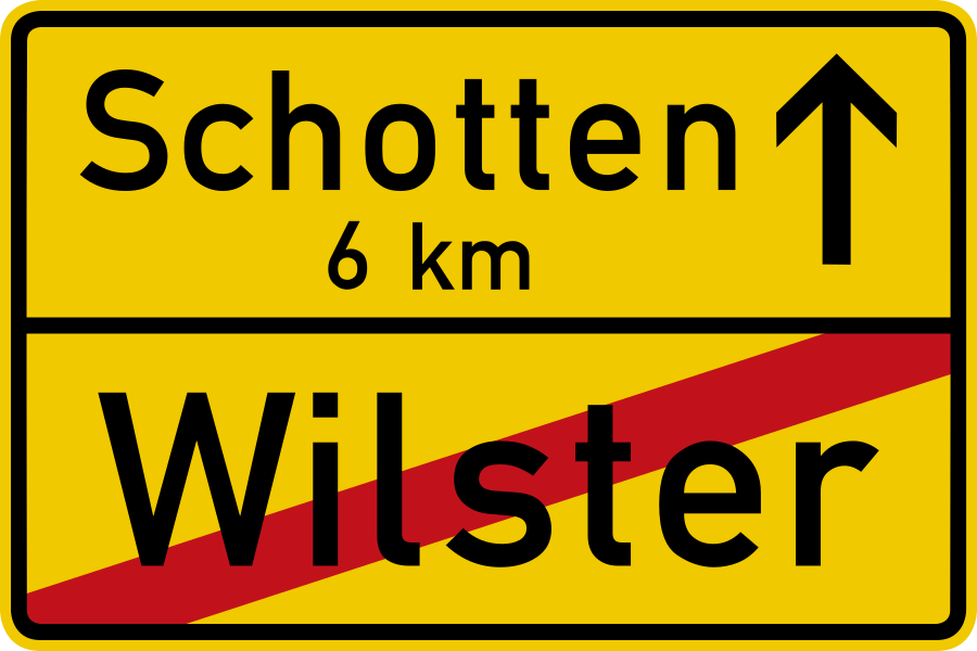
English • Traffic sign 311 • Town boundary sign — reverse.
Deutsch • Verkehrszeichen 311 • Ortstafel Rückseite.
Sources
🔗 Commons.wikimedia.org
🔗 Verwaltungsvorschriften-im-internet.de • VzKat, Anhang (Gesamtübersicht)
Image via Commons.wikimedia.org
Nach den amtlichen Vorgaben digital umgesetzt durch: Mediatus • Public domain • Source revision 2017-08-20. Wikimedia original unmodified.
108. Start of a motorway
This traffic sign indicates the start of a motorway. From this point, special motorway rules apply, including restrictions on which road users may enter and on stopping, reversing and other manoeuvres. Follow the applicable speed limits, lane rules and local motorway regulations.
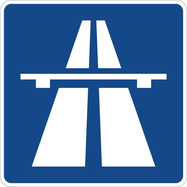
English • Traffic sign 330.1 • Motorway.
Deutsch • Verkehrszeichen 330.1 • Autobahn.
Sources
🔗 Commons.wikimedia.org
🔗 Verwaltungsvorschriften-im-internet.de • VzKat, Anhang (Gesamtübersicht)
Image via Commons.wikimedia.org
vectorized by • Public domain • Source revision 2017-08-29. Wikimedia original unmodified.
109. End of the motorway
This traffic sign indicates the end of the motorway. The special motorway rules end at this point. Follow the speed limits, access rules and other traffic signs that apply to the road ahead.
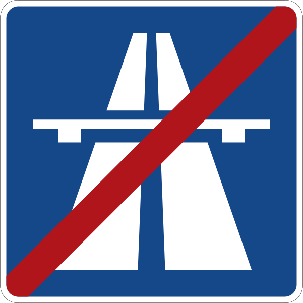
English • Traffic sign 330.2 • End of motorway.
Deutsch • Verkehrszeichen 330.2 • Ende der Autobahn.
Sources
🔗 Commons.wikimedia.org
🔗 Verwaltungsvorschriften-im-internet.de • VzKat, Anhang (Gesamtübersicht)
Image via Commons.wikimedia.org
vectorized by • Public domain • Source revision 2017-08-30. Wikimedia original unmodified.
110. Start of an expressway
This traffic sign indicates the start of an expressway. From this point, the traffic rules and access conditions that apply to expressways take effect according to the applicable local regulations.
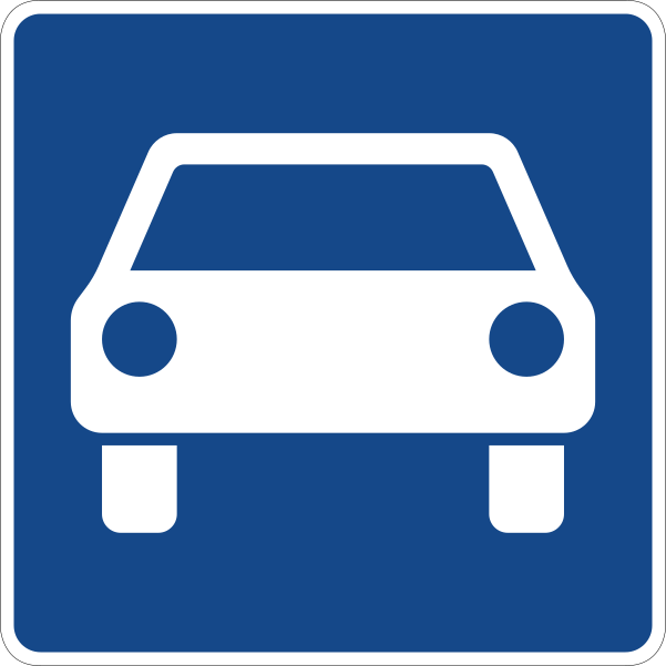
English • Traffic sign 331.1 • Road for motor vehicles.
Deutsch • Verkehrszeichen 331.1 • Kraftfahrstraße.
Sources
🔗 Commons.wikimedia.org
🔗 Verwaltungsvorschriften-im-internet.de • VzKat, Anhang (Gesamtübersicht)
Image via Commons.wikimedia.org
vectorized by • Public domain • Source revision 2017-08-30. Wikimedia original unmodified.
111. End of the expressway
This traffic sign indicates the end of the expressway. The special traffic rules associated with the expressway end at this point. Follow the rules and traffic signs that apply to the road ahead.
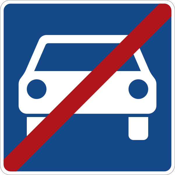
English • Traffic sign 331.2 • End of road for motor vehicles.
Deutsch • Verkehrszeichen 331.2 • Ende der Kraftfahrstraße.
Sources
🔗 Commons.wikimedia.org
🔗 Verwaltungsvorschriften-im-internet.de • VzKat, Anhang (Gesamtübersicht)
Image via Commons.wikimedia.org
vectorized by • Public domain • Source revision 2017-08-30. Wikimedia original unmodified.
112. Start of a residential area
This traffic sign indicates the start of a residential area. Special traffic rules apply within the area according to the applicable signs and local regulations. These rules may affect speed, parking and how different road users use the road.
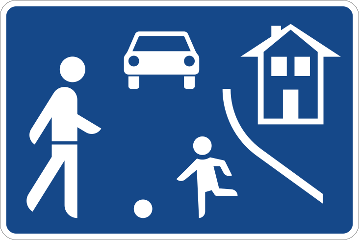
English • Traffic sign 325.1 • Beginning of a residential area.
Deutsch • Verkehrszeichen 325.1 • Beginn eines verkehrsberuhigten Bereichs.
Sources
🔗 Commons.wikimedia.org
🔗 Verwaltungsvorschriften-im-internet.de • VzKat, Anhang (Gesamtübersicht)
Image via Commons.wikimedia.org
vectorized by • Public domain • Source revision 2017-12-12. Wikimedia original unmodified.
113. End of the residential area
This traffic sign indicates the end of the residential area. The special traffic rules associated with the residential area end at this point. Follow the traffic signs and rules that apply beyond the area.
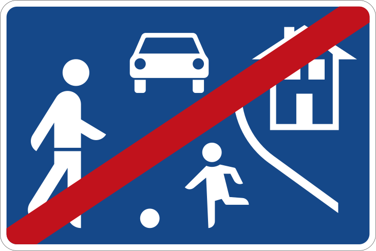
English • Traffic sign 325.2 • End of a residential area.
Deutsch • Verkehrszeichen 325.2 • Ende eines verkehrsberuhigten Bereichs.
Sources
🔗 Commons.wikimedia.org
🔗 Verwaltungsvorschriften-im-internet.de • VzKat, Anhang (Gesamtübersicht)
Image via Commons.wikimedia.org
erstes Hochladen einer Datei durch: Andreas 06; eine im Jahr 2017 nach dem Verkehrsblatt interpretierte und digital umgesetzte neue Datei entstand durch Mediatus • Public domain • Source revision 2017-12-12. Wikimedia original unmodified.
114. Start of a zone for pedestrians
This traffic sign indicates the start of a pedestrian zone. Pedestrians are the principal road users within the zone, while access by vehicles and other road users is subject to the applicable traffic signs and local rules.
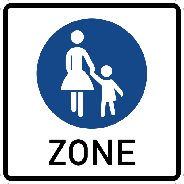
English • Traffic sign 242.1 • Beginning of a pedestrian zone.
Deutsch • Verkehrszeichen 242.1 • Beginn einer Fußgängerzone.
Sources
🔗 Commons.wikimedia.org
🔗 Verwaltungsvorschriften-im-internet.de • VzKat, Anhang (Gesamtübersicht)
Image via Commons.wikimedia.org
Nach den amtlichen Vorgaben digital umgesetzt durch: Mediatus • Public domain • Source revision 2022-04-22. Wikimedia original unmodified.
115. End of the zone for pedestrians
This traffic sign indicates the end of the pedestrian zone. The special traffic rules associated with the pedestrian zone end at this point. Follow the traffic signs and rules that apply beyond the zone.
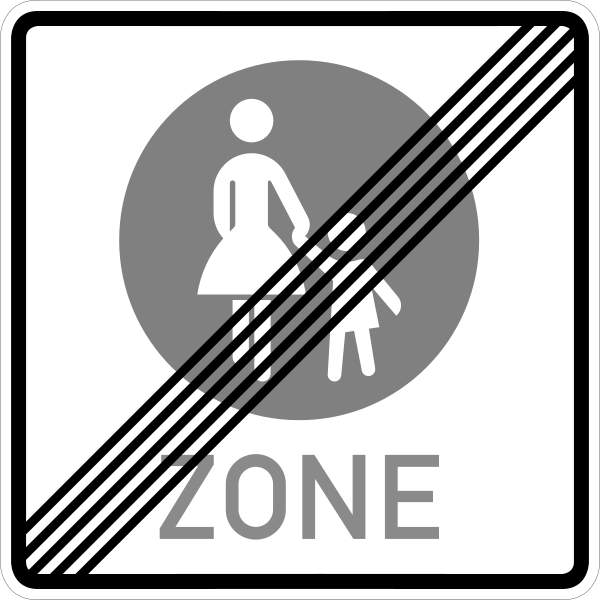
English • Traffic sign 242.2 • End of a pedestrian zone.
Deutsch • Verkehrszeichen 242.2 • Ende einer Fußgängerzone.
Sources
🔗 Commons.wikimedia.org
🔗 Verwaltungsvorschriften-im-internet.de • VzKat, Anhang (Gesamtübersicht)
Image via Commons.wikimedia.org
Nach den amtlichen Vorgaben digital umgesetzt durch: Mediatus • Public domain • Source revision 2017-09-01. Wikimedia original unmodified.
116. Start of a zone for cyclists
This traffic sign indicates the start of a zone for cyclists. Special traffic rules apply throughout the zone according to the applicable signs and local regulations.
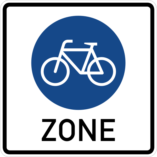
English • Traffic sign 244.3 • Beginning of a cycle zone.
Deutsch • Verkehrszeichen 244.3 • Beginn einer Fahradzone.
Sources
🔗 Commons.wikimedia.org
🔗 Verwaltungsvorschriften-im-internet.de • VzKat, Anhang (Gesamtübersicht)
Image via Commons.wikimedia.org
Nach den amtlichen Vorgaben digital umgesetzt durch: Mediatus • Public domain • Source revision 2022-04-22. Wikimedia original unmodified.
117. End of the zone for cyclists
This traffic sign indicates the end of the zone for cyclists. The special rules associated with the cyclist zone end at this point. Other traffic rules or restrictions may still apply.
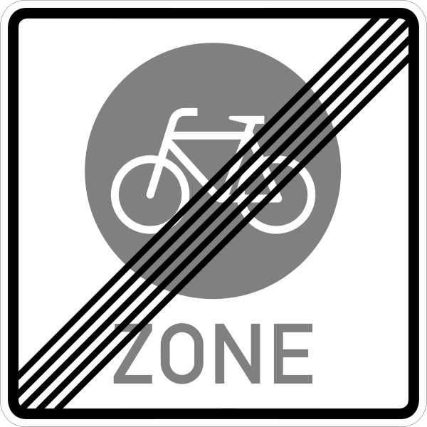
English • Traffic sign 244.4 • End of a cycle zone.
Deutsch • Verkehrszeichen 244.4 • Ende einer Fahrradzone.
Sources
🔗 Commons.wikimedia.org
🔗 Verwaltungsvorschriften-im-internet.de • VzKat, Anhang (Gesamtübersicht)
Image via Commons.wikimedia.org
Nach den amtlichen Vorgaben digital umgesetzt durch: Mediatus • Public domain • Source revision 2020-05-01. Wikimedia original unmodified.
118. Lane for cyclists
This traffic sign indicates a lane for cyclists. The lane is designated for bicycle traffic, subject to the applicable road markings, traffic signs and local rules.
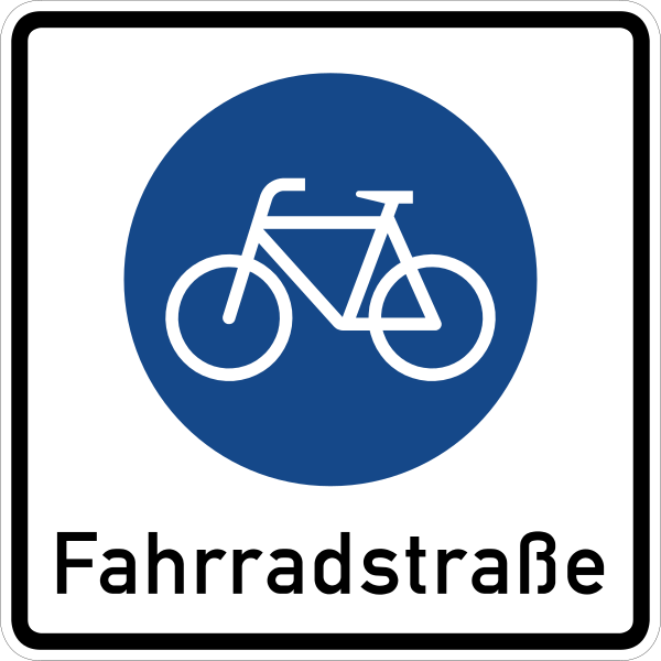
English • Traffic sign 244.1 • Beginning of a cycle street.
Deutsch • Verkehrszeichen 244.1 • Beginn einer Fahrradstraße.
Sources
🔗 Commons.wikimedia.org
🔗 Verwaltungsvorschriften-im-internet.de • VzKat, Anhang (Gesamtübersicht)
Image via Commons.wikimedia.org
Nach den amtlichen Vorgaben digital umgesetzt durch: Mediatus • Public domain • Source revision 2017-08-22. Wikimedia original unmodified.
119. End of the lane for cyclists
This traffic sign indicates the end of the lane for cyclists. The designated cyclist lane ends at this point. Cyclists should continue according to the road layout, traffic signs and rules that apply beyond the lane.
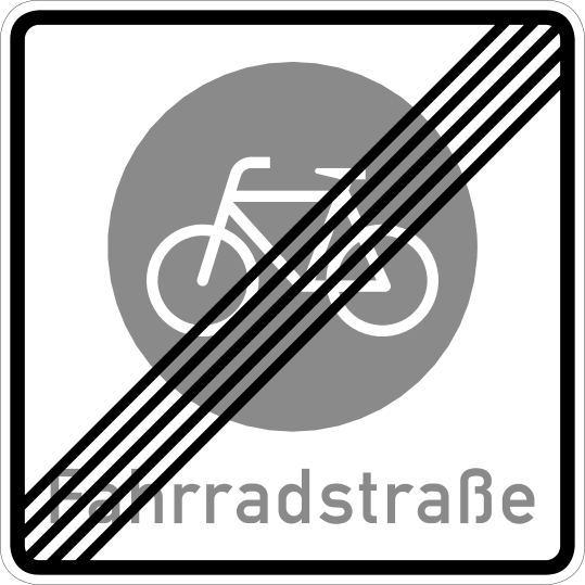
English • Traffic sign 244.2 • End of a cycle street.
Deutsch • Verkehrszeichen 244.2 • Ende einer Fahrradstraße.
Sources
🔗 Commons.wikimedia.org
🔗 Verwaltungsvorschriften-im-internet.de • VzKat, Anhang (Gesamtübersicht)
Image via Commons.wikimedia.org
see disciption • Public domain • Source revision 2017-03-06. Wikimedia original unmodified.
120. Cycle highway
This traffic sign indicates a cycle highway. A cycle highway is a designated cycling route intended to provide an efficient connection over longer distances, often with infrastructure designed to support continuous bicycle travel.
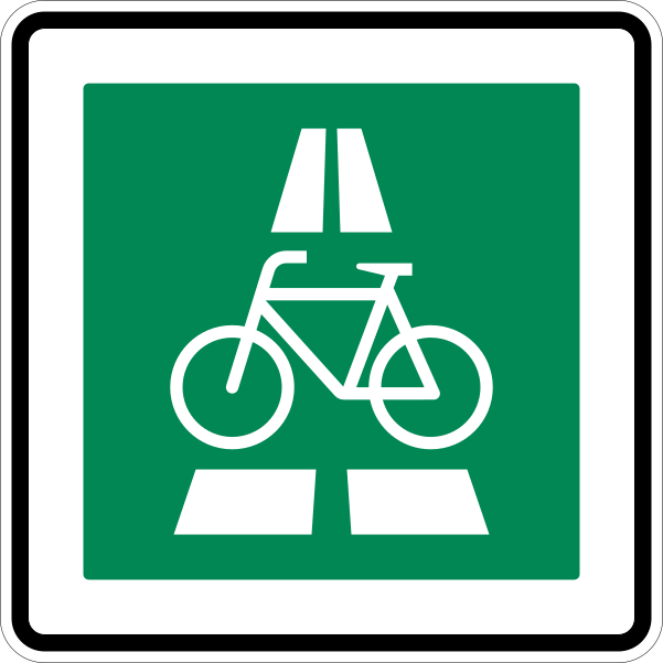
English • Traffic sign 350.1 • Cycle expressway.
Deutsch • Verkehrszeichen 350.1 • Radschnellweg.
Sources
🔗 Commons.wikimedia.org
🔗 Verwaltungsvorschriften-im-internet.de • VzKat, Anhang (Gesamtübersicht)
Image via Commons.wikimedia.org
Nach den amtlichen Vorgaben digital umgesetzt durch: Mediatus • Public domain • Source revision 2020-05-01. Wikimedia original unmodified.
121. End of cycle highway
This traffic sign indicates the end of the cycle highway. The designated cycle-highway route ends at this point. Cyclists should continue according to the signs, road layout and cycling rules that apply beyond it.
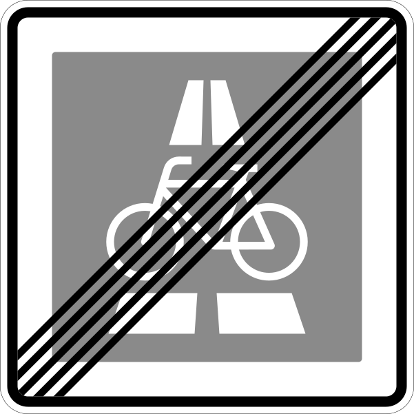
English • Traffic sign 350.2 • End of cycle expressway.
Deutsch • Verkehrszeichen 350.2 • Ende des Radschnellwegs.
Sources
🔗 Commons.wikimedia.org
🔗 Verwaltungsvorschriften-im-internet.de • VzKat, Anhang (Gesamtübersicht)
Image via Commons.wikimedia.org
Nach den amtlichen Vorgaben digital umgesetzt durch: Mediatus • Public domain • Source revision 2022-04-22. Wikimedia original unmodified.
122. National speed limits
This traffic sign indicates the national speed limits. The applicable default maximum speeds depend on the road type, vehicle category and local traffic rules when no different speed limit is indicated.
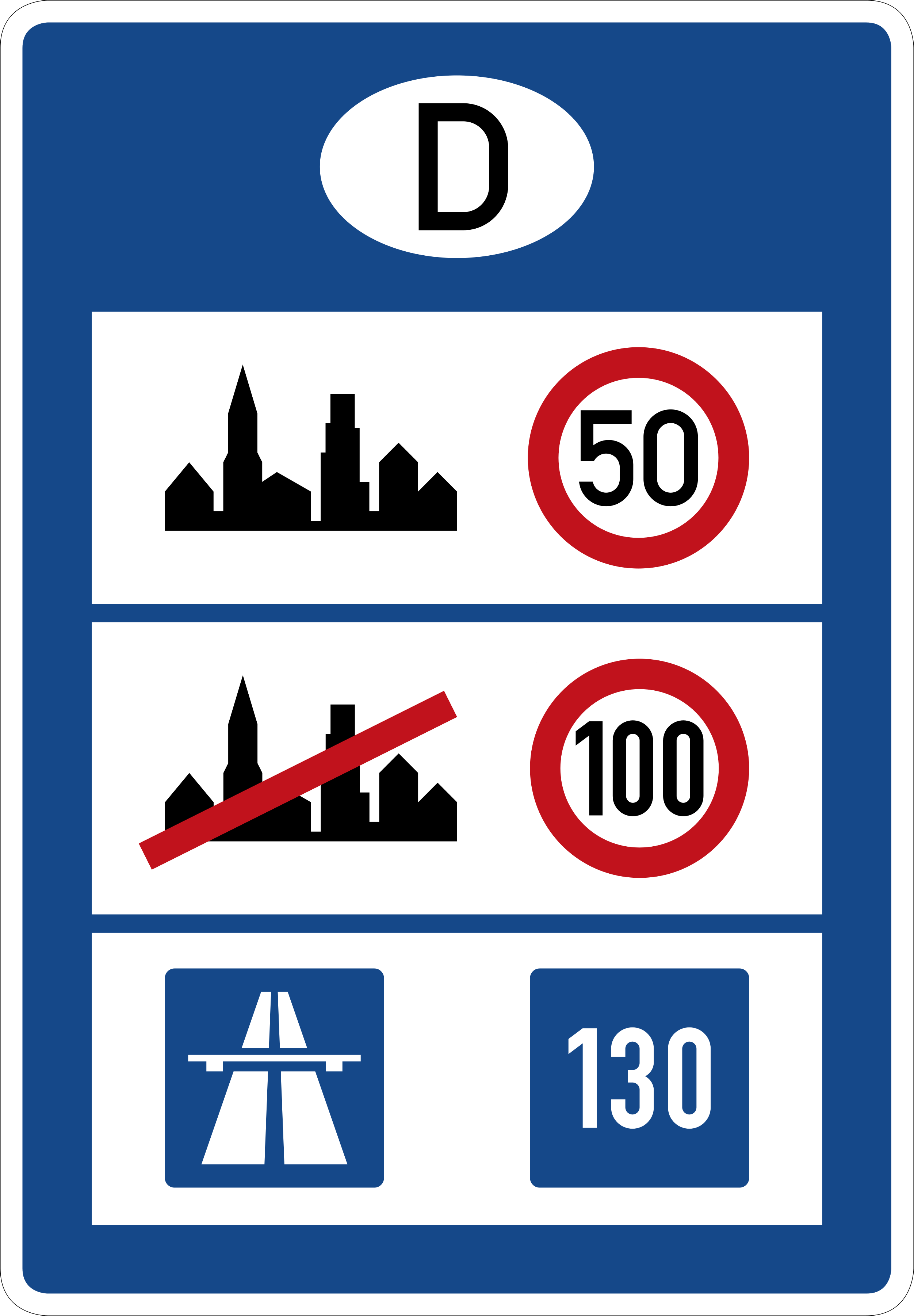
English • Traffic sign 393 • Information board at border crossing points.
Deutsch • Verkehrszeichen 393 • Informationstafel an Grenzübergangsstellen.
Sources
🔗 Commons.wikimedia.org
🔗 Verwaltungsvorschriften-im-internet.de • VzKat, Anhang (Gesamtübersicht)
Image via Commons.wikimedia.org
nach den historischen Vorgaben interpretiert und digital umgesetzt durch Mediatus • Public domain • Source revision 2017-04-21. Wikimedia original unmodified.
123. Start of a tunnel
This traffic sign indicates the start of a tunnel. Special traffic rules may apply within the tunnel, including requirements concerning vehicle lighting, speed or following distance. Follow the applicable signs and local rules.
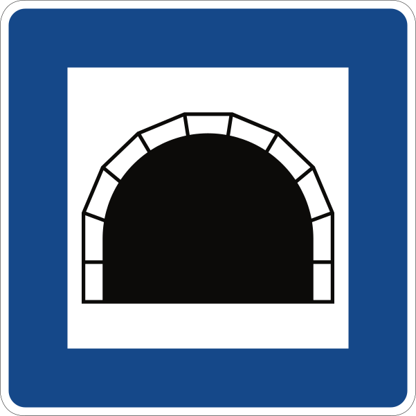
English • Traffic sign 327 • Tunnel.
Deutsch • Verkehrszeichen 327 • Tunnel.
Sources
🔗 Commons.wikimedia.org
🔗 Verwaltungsvorschriften-im-internet.de • VzKat, Anhang (Gesamtübersicht)
Image via Commons.wikimedia.org
erstes Hochladen einer Datei durch Andreas 06; nach den historischen Vorgaben interpretiert und digital umgesetzt durch Mediatus • Public domain • Source revision 2017-08-20. Wikimedia original unmodified.
124. Start of a tunnel with indicated length
This traffic sign indicates the start of a tunnel and shows its length. The displayed value indicates the length of the tunnel. Follow the traffic rules and any special requirements that apply within it.
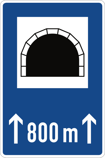
English • Traffic sign 327-50 • Tunnel with its length indicated in m.
Deutsch • Verkehrszeichen 327-50 • Tunnel mit Längenangabe in m.
Sources
🔗 Commons.wikimedia.org
🔗 Verwaltungsvorschriften-im-internet.de • VzKat, Anhang (Gesamtübersicht)
Image via Commons.wikimedia.org
vectorized by • Public domain • Source revision 2017-08-29. Wikimedia original unmodified.
125. Crossing guard
This traffic sign indicates a crossing guard. A crossing guard or school crossing patrol assists pedestrians in crossing the road and may give instructions that road users must follow where required by local rules.
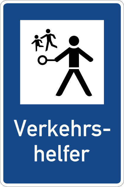
English • Traffic sign 356 • Traffic crossing assistant.
Deutsch • Verkehrszeichen 356 • Verkehrshelfer.
Sources
🔗 Commons.wikimedia.org
🔗 Verwaltungsvorschriften-im-internet.de • VzKat, Anhang (Gesamtübersicht)
Image via Commons.wikimedia.org
vectorized by • Public domain • Source revision 2017-08-30. Wikimedia original unmodified.
126. Crossing for pedestrians
This traffic sign indicates a crossing for pedestrians. It marks a designated place where pedestrians cross the road. Priority and crossing rules depend on the applicable traffic signs, signals and local regulations.
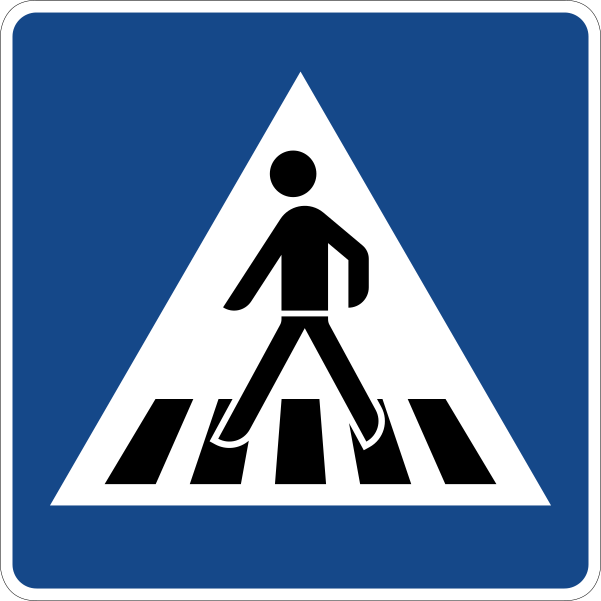
English • Traffic sign 350-10 • Pedestrian crossing — sign placed on the right.
Deutsch • Verkehrszeichen 350-10 • Fußgängerüberweg – Aufstellung rechts.
Sources
🔗 Commons.wikimedia.org
🔗 Verwaltungsvorschriften-im-internet.de • VzKat, Anhang (Gesamtübersicht)
Image via Commons.wikimedia.org
vectorized by • Public domain • Source revision 2017-08-30. Wikimedia original unmodified.
127. Road narrowing, oncoming drivers have to give way
This traffic sign indicates a road narrowing where oncoming drivers have to give way.
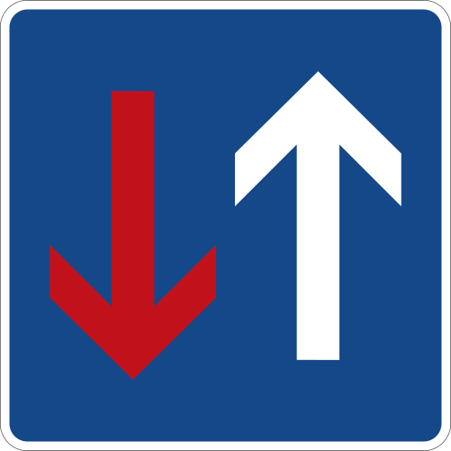
English • Traffic sign 308 • Priority over oncoming traffic.
Deutsch • Verkehrszeichen 308 • Vorrang vor dem Gegenverkehr.
Sources
🔗 Commons.wikimedia.org
🔗 Verwaltungsvorschriften-im-internet.de • VzKat, Anhang (Gesamtübersicht)
Image via Commons.wikimedia.org
Hochladen einer ersten Datei: Andreas06; 2017 nach den offiziellen Vorgaben komplett neu umgezeichnet durch Mediatus • Public domain • Source revision 2017-10-23. Wikimedia original unmodified.
128. Dead end street
This traffic sign indicates a dead end street. The road has no through route for vehicles, although access to properties or other destinations along the road may still be possible.
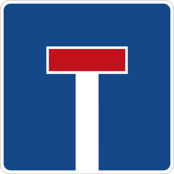
English • Traffic sign 357 • No through road.
Deutsch • Verkehrszeichen 357 • Sackgasse.
Sources
🔗 Commons.wikimedia.org
🔗 Verwaltungsvorschriften-im-internet.de • VzKat, Anhang (Gesamtübersicht)
Image via Commons.wikimedia.org
vectorized by • Public domain • Source revision 2017-08-30. Wikimedia original unmodified.
129. Dead end street with a passage for cyclists
This traffic sign indicates a dead end street with a passage for cyclists. The road has no through route for motor vehicles, but cyclists can continue beyond the dead end.
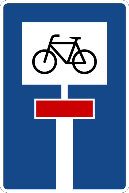
English • Traffic sign 357-52 • Dead-end road with a through route for cyclists.
Deutsch • Verkehrszeichen 357-52 • Sackgasse – für Radverkehr durchlässige Sackgasse.
Sources
🔗 Commons.wikimedia.org
🔗 Verwaltungsvorschriften-im-internet.de • VzKat, Anhang (Gesamtübersicht)
Image via Commons.wikimedia.org
vectorized by • Public domain • Source revision 2017-09-12. Wikimedia original unmodified.
130. Dead end street with a passage for pedestrians
This traffic sign indicates a dead end street with a passage for pedestrians. The road has no through route for motor vehicles, but pedestrians can continue beyond the dead end.
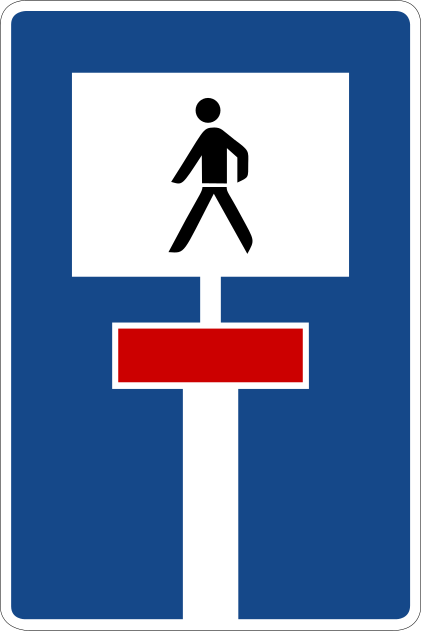
English • Traffic sign 357-51 • Dead-end road with a through route for pedestrians.
Deutsch • Verkehrszeichen 357-51 • Sackgasse – für Fußgänger durchlässige Sackgasse.
Sources
🔗 Commons.wikimedia.org
🔗 Verwaltungsvorschriften-im-internet.de • VzKat, Anhang (Gesamtübersicht)
Image via Commons.wikimedia.org
Germany's Federal Ministry of Transport • Public domain • Source revision 2017-08-30. Wikimedia original unmodified.
131. Dead end street with a passage for pedestrians and cyclists
This traffic sign indicates a dead end street with a passage for pedestrians and cyclists. The road has no through route for motor vehicles, but pedestrians and cyclists can continue beyond the dead end.
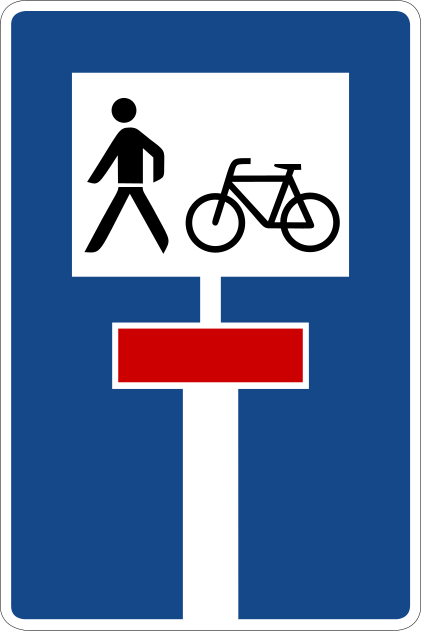
English • Traffic sign 357-50 • Dead-end road with a through route for cyclists and pedestrians.
Deutsch • Verkehrszeichen 357-50 • Sackgasse – für Radverkehr und Fußgänger durchlässige Sackgasse.
Sources
🔗 Commons.wikimedia.org
🔗 Verwaltungsvorschriften-im-internet.de • VzKat, Anhang (Gesamtübersicht)
Image via Commons.wikimedia.org
vectorized by • Public domain • Source revision 2017-08-30. Wikimedia original unmodified.
132. Road with one-way traffic
This traffic sign indicates a road with one-way traffic. Drivers may travel only in the permitted direction.
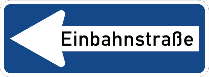
English • Traffic sign 220-10 • One-way street — pointing left.
Deutsch • Verkehrszeichen 220-10 • Einbahnstraße – linksweisend.
Sources
🔗 Commons.wikimedia.org
🔗 Verwaltungsvorschriften-im-internet.de • VzKat, Anhang (Gesamtübersicht)
Image via Commons.wikimedia.org
Nach den amtlichen Vorgaben digital umgesetzt durch: Mediatus • Public domain • Source revision 2017-08-22. Wikimedia original unmodified.
133. Road with one-way traffic
This traffic sign indicates a road with one-way traffic. Drivers may travel only in the permitted direction.
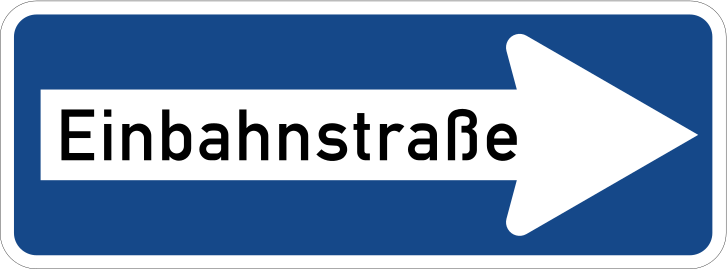
English • Traffic sign 220-20 • One-way street — pointing right.
Deutsch • Verkehrszeichen 220-20 • Einbahnstraße – rechtsweisend.
Sources
🔗 Commons.wikimedia.org
🔗 Verwaltungsvorschriften-im-internet.de • VzKat, Anhang (Gesamtübersicht)
Image via Commons.wikimedia.org
Nach den amtlichen Vorgaben digital umgesetzt durch: Mediatus • Public domain • Source revision 2017-08-22. Wikimedia original unmodified.
134. Taxi stand
This traffic sign indicates a taxi stand. It is a designated place where taxis may wait for passengers. Other vehicles may use the area only where the applicable signs or local rules permit it.
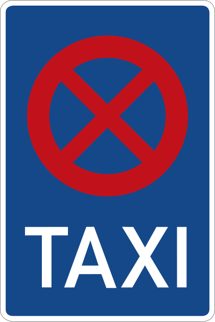
English • Traffic sign 229 • Taxi rank. Requirement or prohibition: drivers must not stop at taxi ranks, except for taxis waiting to carry passengers. Explanation: the length of the taxi rank is marked by the stated number of taxis provided for, by a sign at the beginning with a horizontal white arrow pointing towards the carriageway and a sign at the end with such an arrow pointing away from the carriageway, or by a boundary marking for stopping and parking prohibitions (sign 299).
Deutsch • Zeichen 229 Taxenstand. Ge- oder Verbot Wer ein Fahrzeug führt, darf an Taxenständen nicht halten, ausgenommen sind für die Fahrgastbeförderung bereitgehaltene Taxen. Erläuterung Die Länge des Taxenstandes wird durch die Angabe der Zahl der vorgesehenen Taxen oder das am Anfang der Strecke aufgestellte Zeichen mit einem zur Fahrbahn weisenden waagerechten weißen Pfeil und durch ein am Ende aufgestelltes Zeichen mit einem solchen von der Fahrbahn wegweisenden Pfeil oder durch eine Grenzmarkierung für Halt- und Parkverbote (Zeichen 299) gekennzeichnet.
Sources
🔗 Commons.wikimedia.org
🔗 Gesetze-im-internet.de • Amtliche Abbildung
🔗 Gesetze-im-internet.de • StVO, Anlage 2 • Zeichen 229
Image via Commons.wikimedia.org
Erstes Hochladen einer Datei: Andreas 06. Nach den amtlichen Vorgaben komplett neu digital umgesetzt durch: Mediatus • Public domain • Source revision 2017-08-31. Wikimedia original unmodified.
135. Information about the next exit
This traffic sign gives information about the next exit. It may show the exit number, destination, direction or distance to the exit.
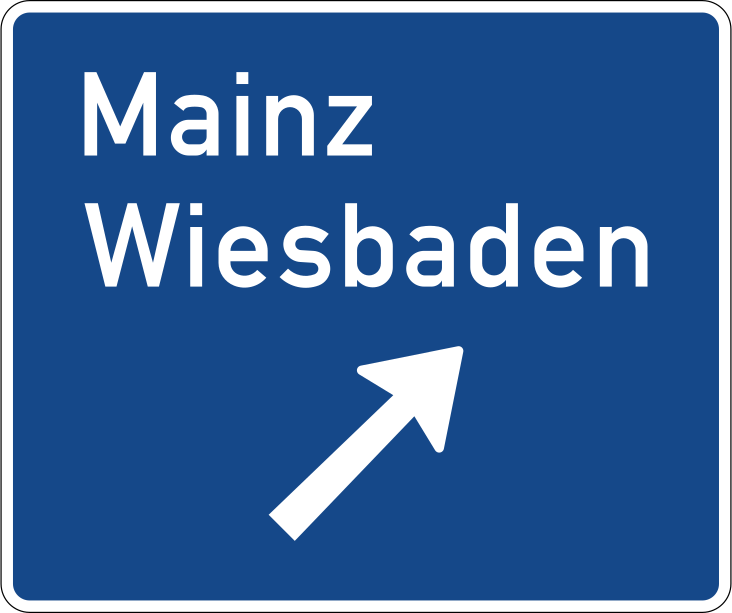
English • Traffic sign 332 • Motorway exit sign.
Deutsch • Verkehrszeichen 332 • Ausfahrttafel auf der Autobahn.
Sources
🔗 Commons.wikimedia.org
🔗 Verwaltungsvorschriften-im-internet.de • VzKat, Anhang (Gesamtübersicht)
Image via Commons.wikimedia.org
Interpretiert und digital umgezeichnet durch Mediatus • Public domain • Source revision 2017-08-19. Wikimedia original unmodified.
136. Ramp destination
This traffic sign gives information about the destination reached via the ramp. The displayed destination indicates where the ramp leads.
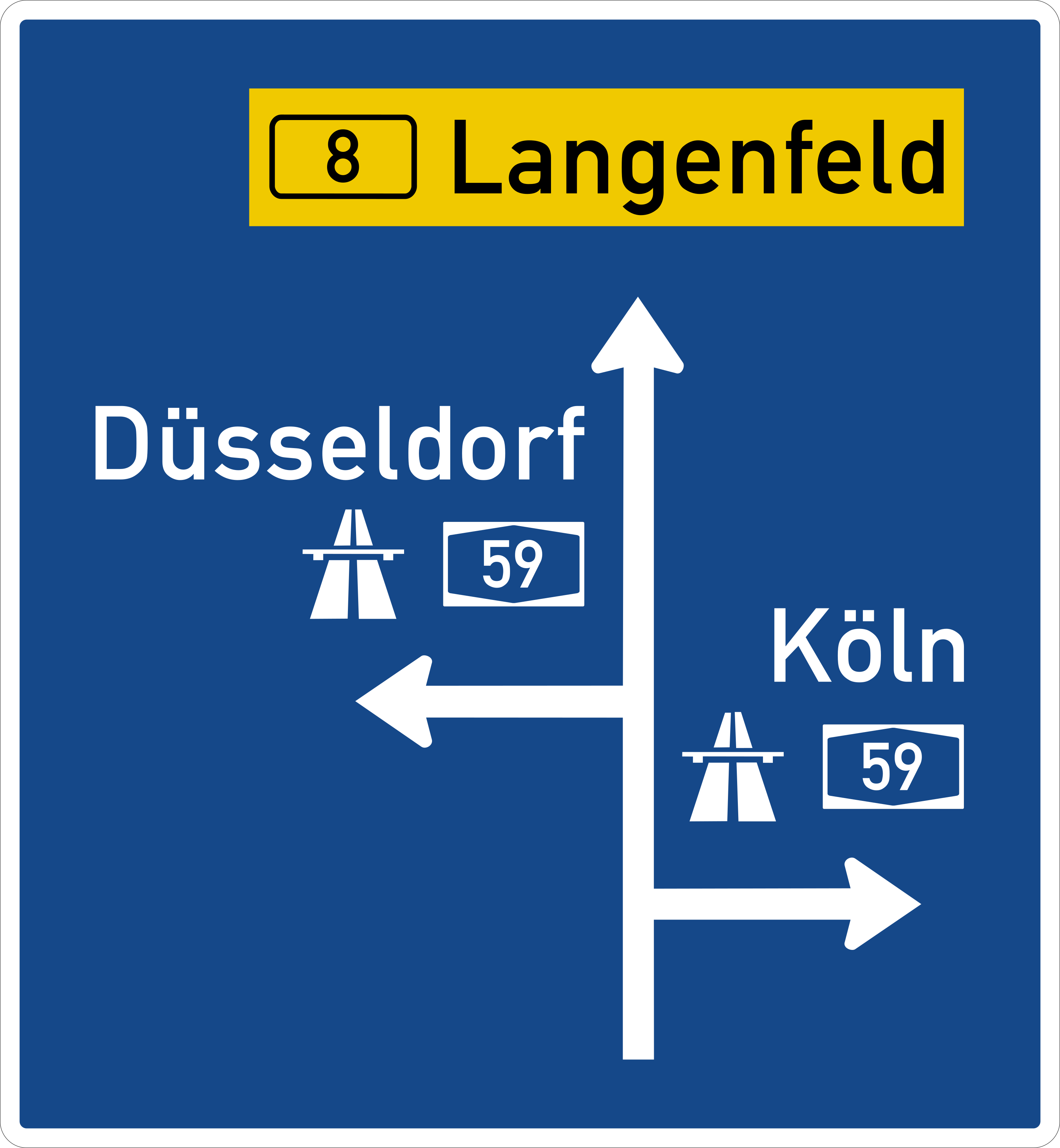
English • Traffic sign 440 • Advance direction sign to a motorway.
Deutsch • Verkehrszeichen 440 • Vorwegweiser zur Autobahn.
Sources
🔗 Commons.wikimedia.org
🔗 Verwaltungsvorschriften-im-internet.de • VzKat, Anhang (Gesamtübersicht)
Image via Commons.wikimedia.org
Andreas 06, McShark, Gohnarch, Mediatus • Public domain • Source revision 2017-10-26. Wikimedia original unmodified.
137. Overview of the lanes and their direction
This traffic sign gives an overview of the lanes and their direction. The diagram shows how the traffic lanes are arranged and how they continue, divide or merge.
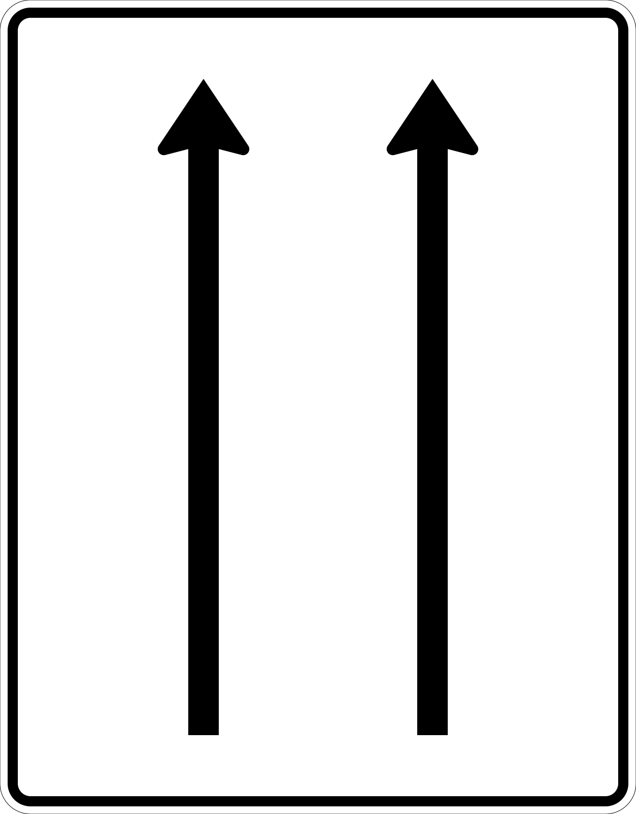
English • Traffic sign 521-30 • Lane diagram — no oncoming traffic — 2 lanes in the direction of travel.
Deutsch • Verkehrszeichen 521-30 • Fahrstreifentafel – ohne Gegenverkehr – 2- streifig in Fahrtrichtung.
Sources
🔗 Commons.wikimedia.org
🔗 Bast.de • BASt • Verkehrszeichen als Bilddateien
🔗 Verwaltungsvorschriften-im-internet.de • VzKat • Zeichen 521-30
🔗 Bast.de • BASt • ZIP (500-599.zip, Datei 521-30.jpg)
Image via Commons.wikimedia.org
Federal Highway Research Institute (Germany) • Public domain • Source revision 2006-10-05. Wikimedia original unmodified.
138. Maximum speed of a lane
This traffic sign indicates the maximum speed for the indicated lane. Vehicles using that lane must not exceed the displayed speed limit while the restriction applies.
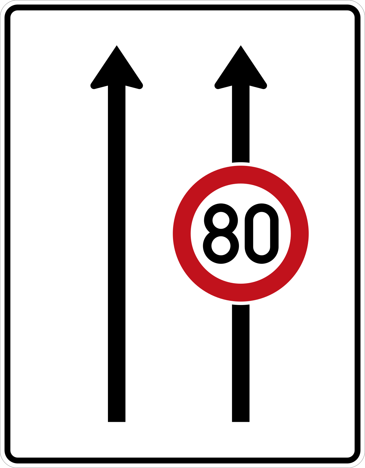
English • Traffic sign 523-30 • Lane diagram — no oncoming traffic, with integrated sign 274 — 2 lanes in the direction of travel.
Deutsch • Verkehrszeichen 523-30 • Fahrstreifentafel – ohne Gegenverkehr mit integriertem Zeichen 274 – 2- streifig in Fahrtrichtung.
Sources
🔗 Commons.wikimedia.org
🔗 Bast.de • BASt • Verkehrszeichen als Bilddateien
🔗 Verwaltungsvorschriften-im-internet.de • VzKat • Zeichen 523-30
🔗 Bast.de • BASt • ZIP (500-599.zip, Datei 523-30.jpg)
Image via Commons.wikimedia.org
vectorized by • Public domain • Source revision 2018-01-08. Wikimedia original unmodified.
139. Minimum speed of a lane
This traffic sign indicates the minimum speed for the indicated lane. Vehicles using that lane must comply with the displayed minimum speed according to the applicable traffic rules.
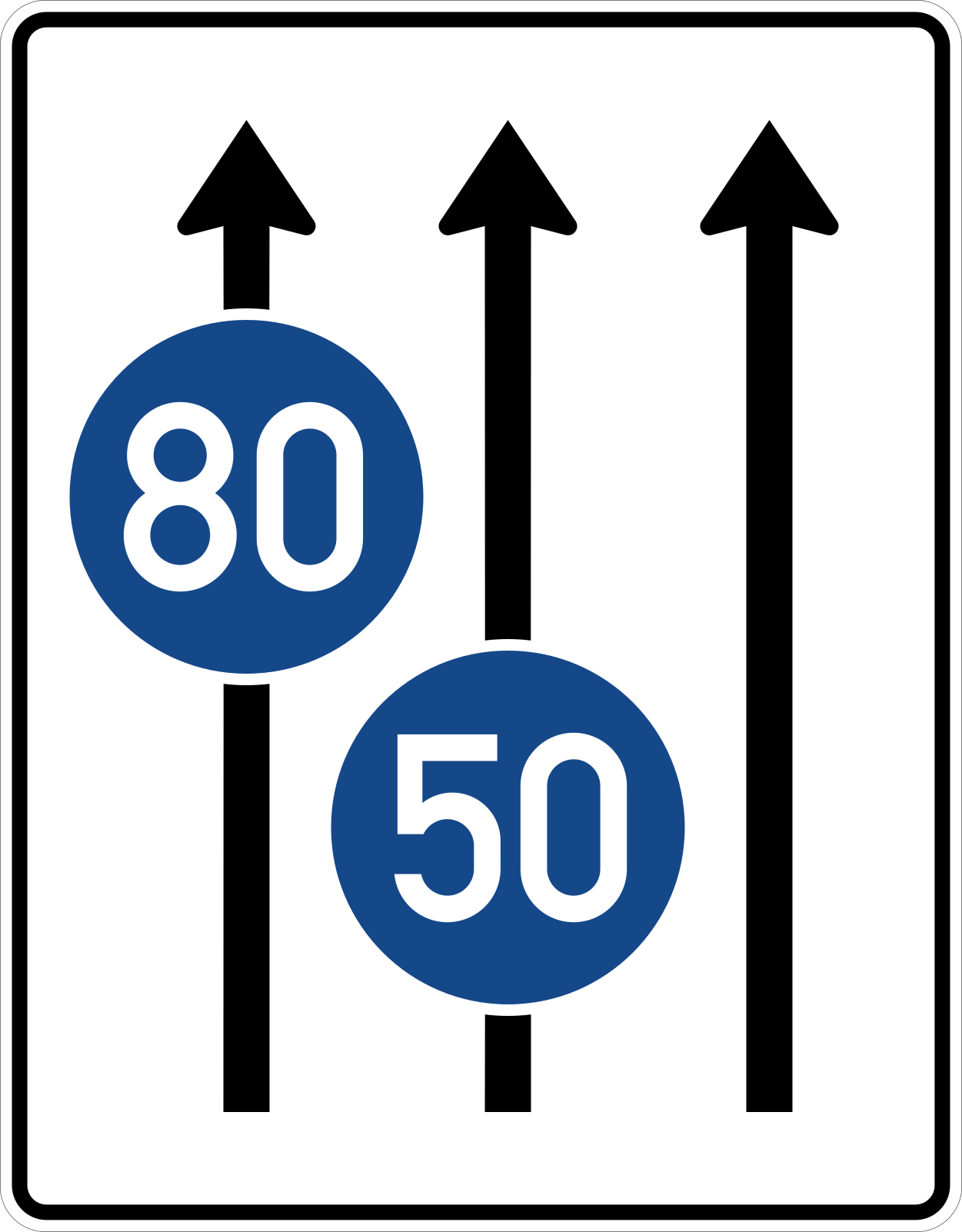
English • Traffic sign 525-31 • Lane diagram — no oncoming traffic, with integrated sign 275 — 3 lanes in the direction of travel.
Deutsch • Verkehrszeichen 525-31 • Fahrstreifentafel – ohne Gegenverkehr mit integriertem Zeichen 275 – 3- streifig in Fahrtrichtung.
Sources
🔗 Commons.wikimedia.org
🔗 Bast.de • BASt • Verkehrszeichen als Bilddateien
🔗 Verwaltungsvorschriften-im-internet.de • VzKat • Zeichen 525-31
🔗 Bast.de • BASt • ZIP (500-599.zip, Datei 525-31.jpg)
Image via Commons.wikimedia.org
Federal Highway Research Institute (Germany) • Public domain • Source revision 2018-05-19. Wikimedia original unmodified.
140. Start of a new lane
This traffic sign indicates the start of a new traffic lane. The displayed road layout shows where the additional lane begins and how the traffic lanes continue.
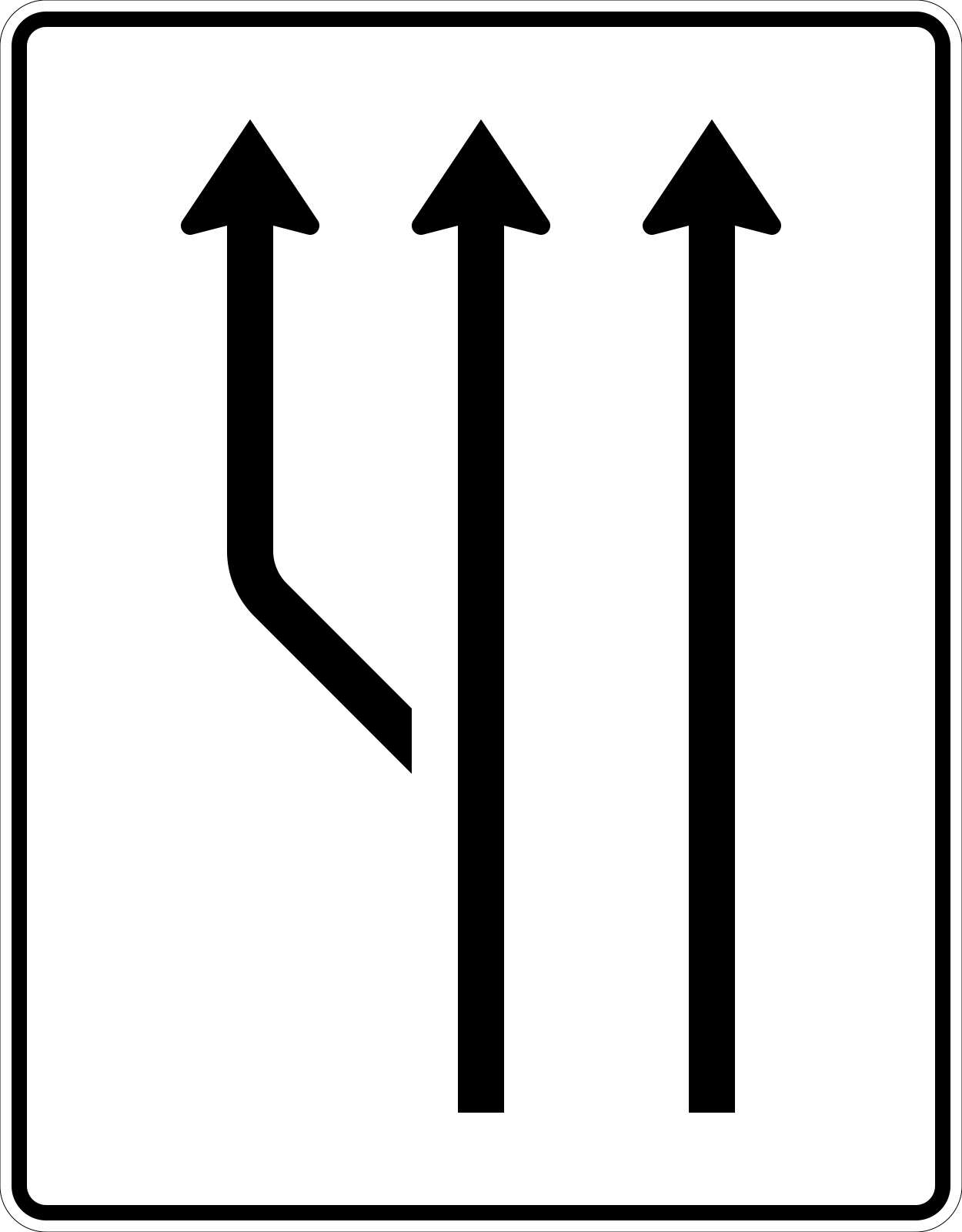
English • Traffic sign 541-11 • Lane addition diagram — no oncoming traffic — 2 lanes plus an additional lane on the left.
Deutsch • Verkehrszeichen 541-11 • Aufweitungstafel – ohne Gegenverkehr – 2- streifig plus Fahrstreifen links.
Sources
🔗 Commons.wikimedia.org
🔗 Bast.de • BASt • Verkehrszeichen als Bilddateien
🔗 Verwaltungsvorschriften-im-internet.de • VzKat • Zeichen 541-11
🔗 Bast.de • BASt • ZIP (500-599.zip, Datei 541-11.jpg)
Image via Commons.wikimedia.org
Federal Highway Research Institute (Germany) • Public domain • Source revision 2006-10-05. Wikimedia original unmodified.
141. Route to be followed in order to turn left
This traffic sign indicates the route to use for a left turn. Follow the indicated route instead of turning left directly at this point.
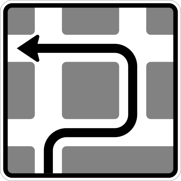
English • Traffic sign 590-10 • Route around a block: right, left, left.
Deutsch • Verkehrszeichen 590-10 • Blockumfahrung rechts, links, links.
Sources
🔗 Commons.wikimedia.org
🔗 Verwaltungsvorschriften-im-internet.de • VzKat, Anhang (Gesamtübersicht)
Image via Commons.wikimedia.org
Interpretiert und digital umgezeichnet durch Mediatus • Public domain • Source revision 2017-10-15. Wikimedia original unmodified.
142. General information about the directions
This traffic sign gives general information about road directions. The arrows, destinations and route information show which direction to follow.

English • Traffic sign 419 • Explanation: arrow direction sign on other roads of lesser traffic importance.
Deutsch • Zeichen 419. Erläuterung Pfeilwegweiser auf sonstigen Straßen mit geringerer Verkehrsbedeutung
Sources
🔗 Commons.wikimedia.org
🔗 Gesetze-im-internet.de • Amtliche Abbildung
🔗 Gesetze-im-internet.de • StVO, Anlage 3 • Zeichen 419
Image via Commons.wikimedia.org
Andreas 06, Mediatus • Public domain • Source revision 2017-10-26. Wikimedia original unmodified.
143. Information about the destination and distance
This traffic sign gives information about destinations and their distance. The displayed values show how far the indicated destinations are from the sign.
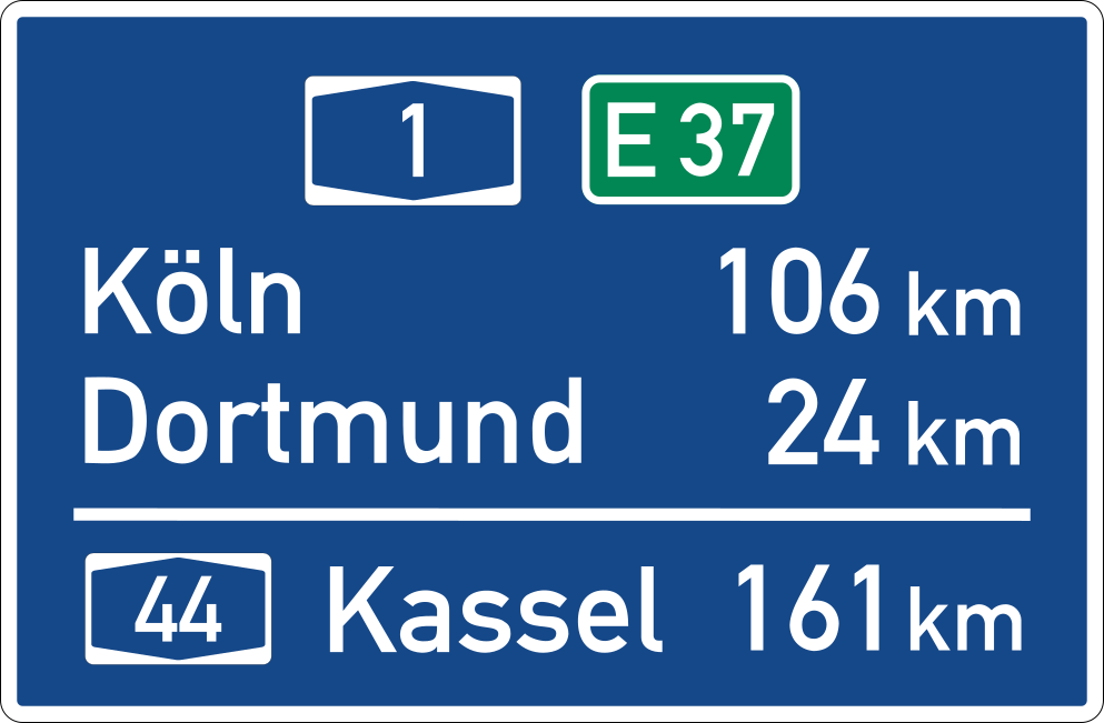
English • Traffic sign 453 • Distance sign.
Deutsch • Verkehrszeichen 453 • Entfernungstafel.
Sources
🔗 Commons.wikimedia.org
🔗 Verwaltungsvorschriften-im-internet.de • VzKat, Anhang (Gesamtübersicht)
Image via Commons.wikimedia.org
erstes Hochladen einer Datei durch Andreas 06; nach den Vorgaben 2017 korrekt interpretiert und digital umgesetzt durch Mediatus • Public domain • Source revision 2017-09-19. Wikimedia original unmodified.
144. Junction directions and destinations
This traffic sign shows the junction directions and destinations. The destinations are listed with arrows showing which direction to follow.
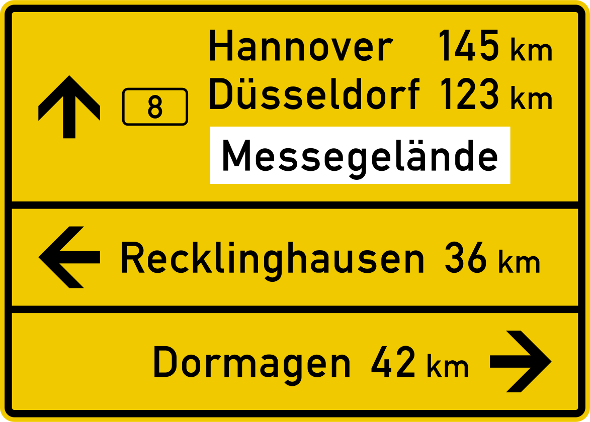
English • Traffic sign 434 • Explanation: the tabular direction sign may be combined on a single panel. Destinations in one direction may also be shown on separate panels. Traffic sign 434-50 • Tabular direction sign — compact form.
Deutsch • Zeichen 434. Erläuterung Der Tabellenwegweiser kann auch auf einer Tafel zusammengefasst sein. Die Zielangaben in einer Richtung können auch auf separaten Tafeln gezeigt werden. Verkehrszeichen 434-50 • Tabellenwegweiser – kompakte Form.
Sources
🔗 Gesetze-im-internet.de • Amtliche Abbildung
🔗 Gesetze-im-internet.de • StVO, Anlage 3 • Zeichen 434 Quelle: Verkehrszeichenkatalog 2017; Digitalisierung: Mediatus • Gemeinfrei (PD Germany) • Original-SVG unverändert.
🔗 Commons.wikimedia.org
🔗 Verwaltungsvorschriften-im-internet.de • VzKat • Zeichen 434-50
Image via Commons.wikimedia.org
vectorized by • Public domain • Source revision 2019-06-18. Wikimedia original unmodified.
145. Junction layout, directions and destinations
This traffic sign shows the junction layout, directions and destinations. The diagram shows how the roads are arranged and which direction leads to each indicated destination or route.
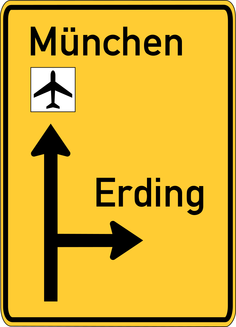
English • Traffic sign 438.
Deutsch • Zeichen 438.
Sources
🔗 Commons.wikimedia.org
🔗 Gesetze-im-internet.de • Amtliche Abbildung
🔗 Gesetze-im-internet.de • StVO, Anlage 3 • Zeichen 438
Image via Commons.wikimedia.org
Andreas06, Mediatus • Public domain • Source revision 2010-10-02. Wikimedia original unmodified.
146. Detour directions
This traffic sign indicates detour directions. The arrows or destinations shown guide road users along the temporary or alternative route.
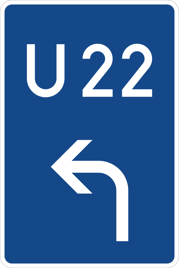
English • Traffic sign 460-10 • Contingency diversion — advance indication to the left.
Deutsch • Verkehrszeichen 460-10 • Bedarfsumleitung – Vorankündigung links.
Sources
🔗 Commons.wikimedia.org
🔗 Verwaltungsvorschriften-im-internet.de • VzKat, Anhang (Gesamtübersicht)
Image via Commons.wikimedia.org
nach den Vorgaben 2017 korrekt interpretiert und digital umgesetzt durch Mediatus • Public domain • Source revision 2017-09-22. Wikimedia original unmodified.
147. Detour for vehicles that are not allowed to pass
This traffic sign indicates a detour for vehicles that cannot continue on the normal route. Vehicles affected by the relevant restriction should follow the indicated alternative route.
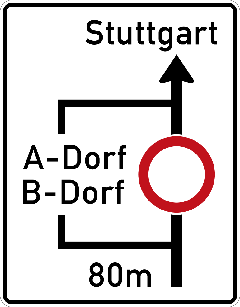
English • Traffic sign 458 • Route diagram.
Deutsch • Verkehrszeichen 458 • Planskizze.
Sources
🔗 Commons.wikimedia.org
🔗 Verwaltungsvorschriften-im-internet.de • VzKat, Anhang (Gesamtübersicht)
Image via Commons.wikimedia.org
nach den Vorgaben korrekt interpretiert und digital umgesetzt durch Mediatus • Public domain • Source revision 2017-09-22. Wikimedia original unmodified.
148. Recommended detour route
This traffic sign indicates a recommended detour route. The indicated route is recommended as an alternative to the normal route but is not itself mandatory unless another traffic rule requires it.
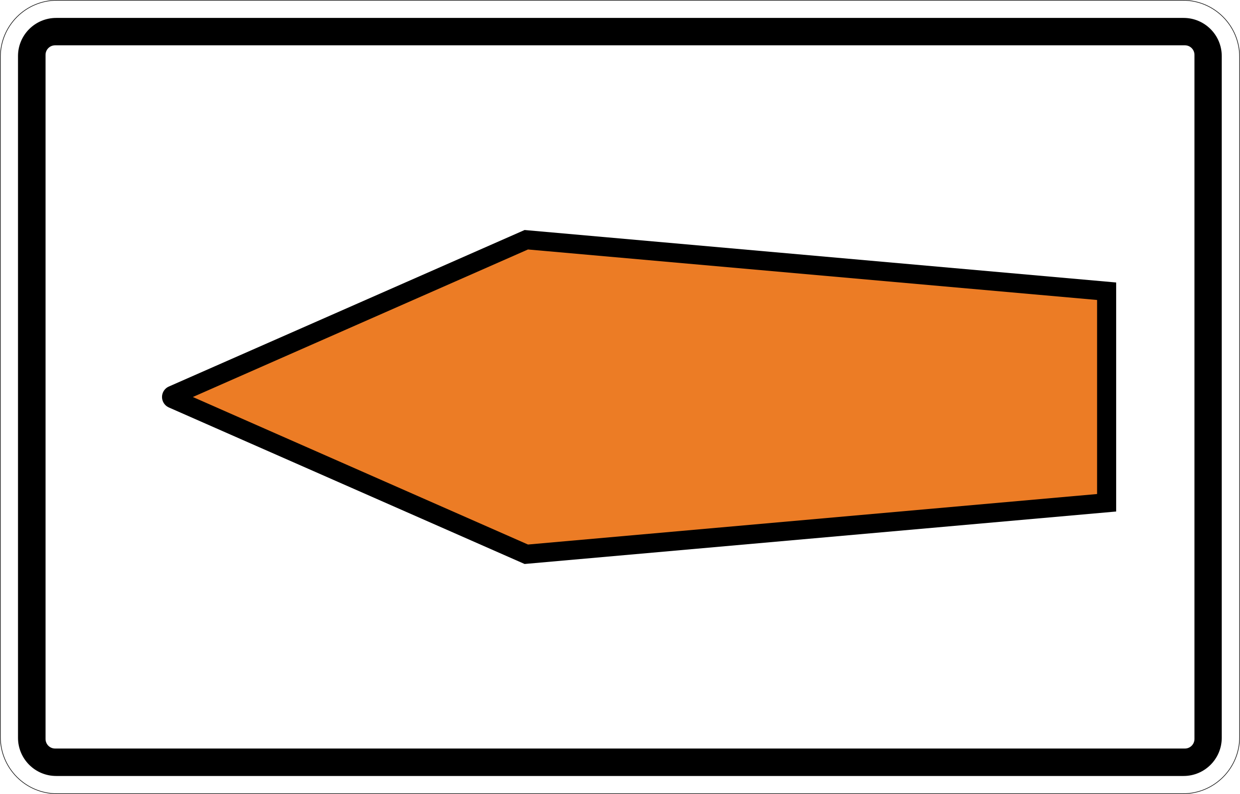
English • Traffic sign 467.1-10 • Route recommendation arrow — pointing left.
Deutsch • Verkehrszeichen 467.1-10 • Umlenkungspfeil (Streckenempfehlung) – linksweisend.
Sources
🔗 Commons.wikimedia.org
🔗 Verwaltungsvorschriften-im-internet.de • VzKat, Anhang (Gesamtübersicht)
Image via Commons.wikimedia.org
Mediatus • Public domain • Source revision 2017-09-22. Wikimedia original unmodified.
149. Diversion of lanes
This traffic sign indicates that the traffic lanes shift sideways to pass an obstruction or changed road layout. Follow the direction shown by the arrows, stay within your lane and adjust your position in good time. The number of arrows corresponds to the number of continuing traffic lanes.
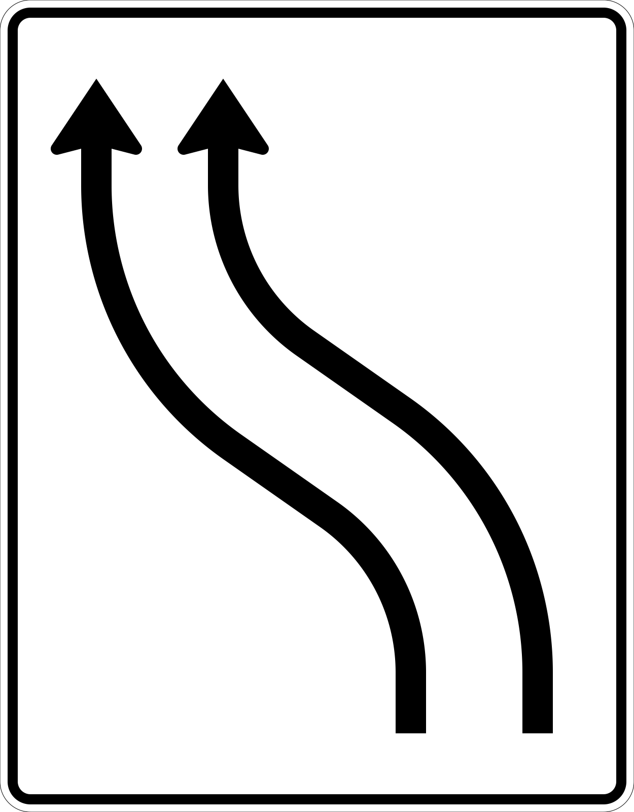
English • Traffic sign 511-11 • Lane shift diagram — no oncoming traffic — 2 lanes shift to the left.
Deutsch • Verkehrszeichen 511-11 • Verschwenkungstafel – ohne Gegenverkehr – 2- streifig nach links.
Sources
🔗 Commons.wikimedia.org
🔗 Bast.de • BASt • Verkehrszeichen als Bilddateien
🔗 Verwaltungsvorschriften-im-internet.de • VzKat • Zeichen 511-11
🔗 Bast.de • BASt • ZIP (500-599.zip, Datei 511-11.jpg)
Image via Commons.wikimedia.org
Federal Highway Research Institute (Germany) • Public domain • Source revision 2006-10-05. Wikimedia original unmodified.
150. End of a lane
This traffic sign indicates the end of a lane. The displayed lane arrangement shows which lane ends and how the remaining traffic lanes continue.
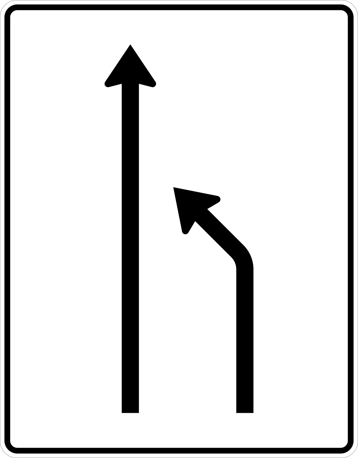
English • Traffic sign 531-10 • Lane reduction diagram — no oncoming traffic — right lane ends, reducing 2 lanes to 1.
Deutsch • Verkehrszeichen 531-10 • Einengungstafel – ohne Gegenverkehr – Einzug rechts, von 2 auf 1 Fahrstreifen.
Sources
🔗 Commons.wikimedia.org
🔗 Verwaltungsvorschriften-im-internet.de • VzKat, Anhang (Gesamtübersicht)
Image via Commons.wikimedia.org
vectorized by • Public domain • Source revision 2018-01-08. Wikimedia original unmodified.