

案内標識アメリカ合衆国
 交通ルール
 アメリカ合衆国
 優先標識
 警戒標識
 禁止標識
 義務標識
 案内標識
案内標識
案内標識は、規制や警告を課すのではなく、道路利用者へ有用な案内・説明を提供する交通標識です。駐車区域、方向、施設、道路配置、市街地の開始・終了などを知らせます。明確で実用的な情報を提供し、運転者が迷わず移動できるようにして、方向把握、快適性、交通流を改善します。
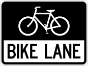



1. 自転車レーン。
この標識は自転車レーンを示します。このレーンは、適用される路面標示、道路標識、現地規則に従って自転車交通用に指定されています。
English • R3-17 • Bike lane. Identifies a lane designated for bicycle traffic. Other road users must respect the lane's restrictions.
出典
🔗 Commons.wikimedia.org
🔗 Mutcd.fhwa.dot.gov • FHWA: MUTCD, 11th Edition with Revision1, PDF page1093
SVG source: Federal Highway Administration – United States Department of Transportation • Public domain • Original revision 2023-07-25. Wikimedia original unmodified.
2. 推奨速度。
この標識は推奨速度を示します。表示値は前方の道路や状況に適した速度を推奨します。法的な効力は適用される現地規則によって異なります。
English • W13-1P • Advisory speed. Indicates an advisory speed of 35 mph for the condition indicated by the accompanying warning sign. It is an advisory plaque, not a separate maximum-speed-limit sign.
出典
🔗 Commons.wikimedia.org
🔗 Mutcd.fhwa.dot.gov • FHWA: MUTCD, 11th Edition with Revision1, PDF page194
SVG source: Federal Highway Administration • Public domain • Original revision 2012-09-24. Wikimedia original unmodified.
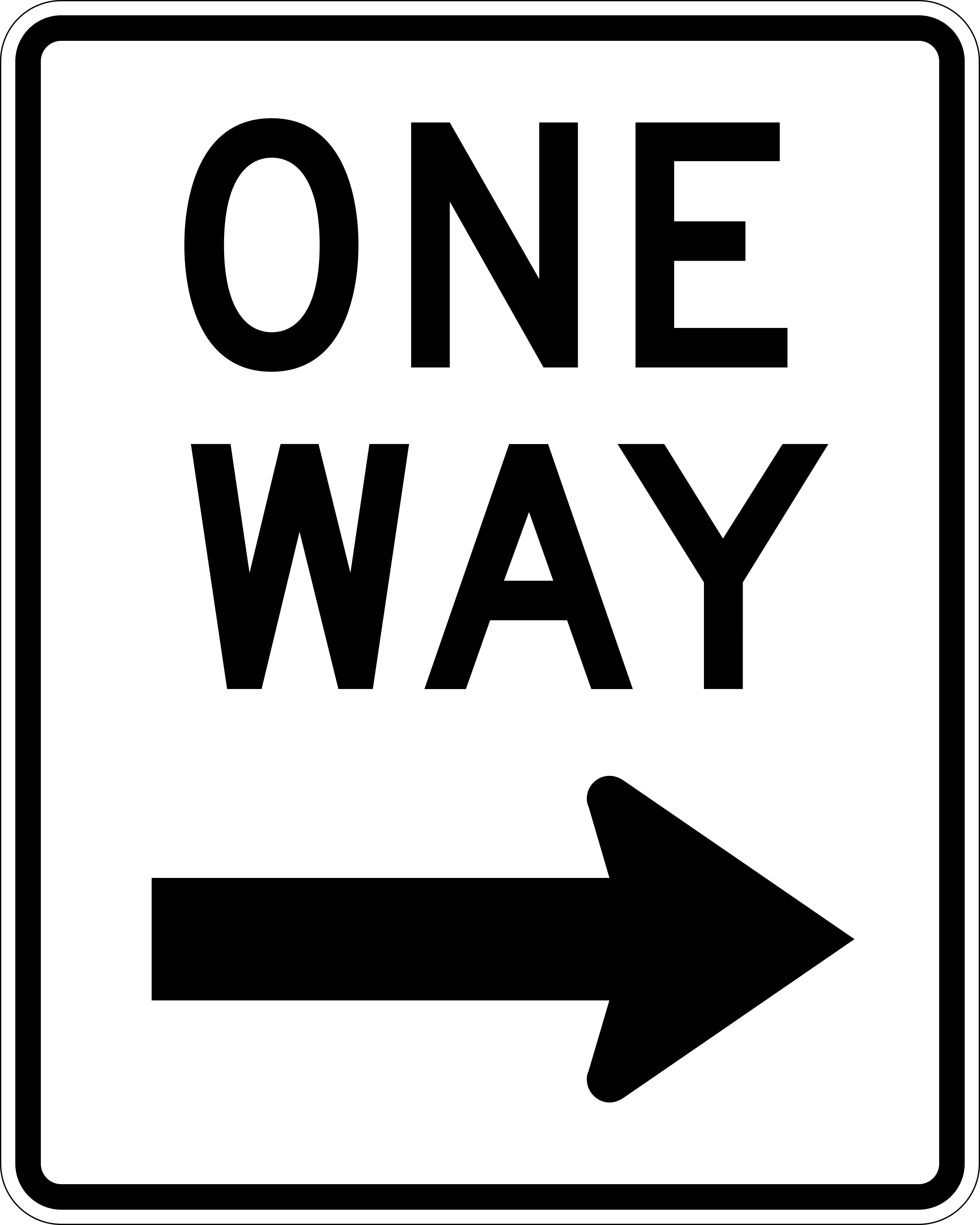
3. 一方通行道路。
この標識は一方通行道路を示します。運転者は許可された方向にのみ進めます。
English • R6-2 • One way to the right. Indicates that traffic on the road travels only in the direction of the arrow, here to the right.
出典
🔗 Commons.wikimedia.org
🔗 Mutcd.fhwa.dot.gov • FHWA: MUTCD, 11th Edition with Revision1, PDF page150
SVG source: Author not stated on source page • Public domain • Original revision 2024-06-25. Wikimedia original unmodified.
4. 次の出口案内。
この標識は次の出口に関する案内を示します。出口番号、行先、方向、出口までの距離などが表示される場合があります。
English • E5-1a + W13-1aP • Exit with advisory speed. Identifies Exit 23 B to the right. The yellow plaque gives an advisory exit speed of 30 mph.
出典
🔗 Commons.wikimedia.org
🔗 Mutcd.fhwa.dot.gov • FHWA: MUTCD, 11th Edition with Revision1, PDF page360
🔗 Mutcd.fhwa.dot.gov • FHWA: MUTCD Revision1, section2C.59, confirmation advisory speed
Image via Commons.wikimedia.org
Federal Highway Administration - MUTCD • Public domain • Source revision 2022-08-01. Wikimedia original unmodified.
5. バスレーン。
この標識はバスレーンを示します。レーンはバスと、適用される標識または現地規則で許可されたその他の道路利用者向けです。
English • R3-11d • Right lane, buses only. Reserves the right lane for buses from 6 am to 9 am, Monday to Friday, as shown in the illustration. Follow other lane-use signs outside those hours.
出典
🔗 Commons.wikimedia.org
🔗 Mutcd.fhwa.dot.gov • FHWA: MUTCD, 11th Edition with Revision1, PDF page451
Image via Commons.wikimedia.org
DelDot - State of Delaware • Public domain • Source revision 2023-07-25. Wikimedia original unmodified.
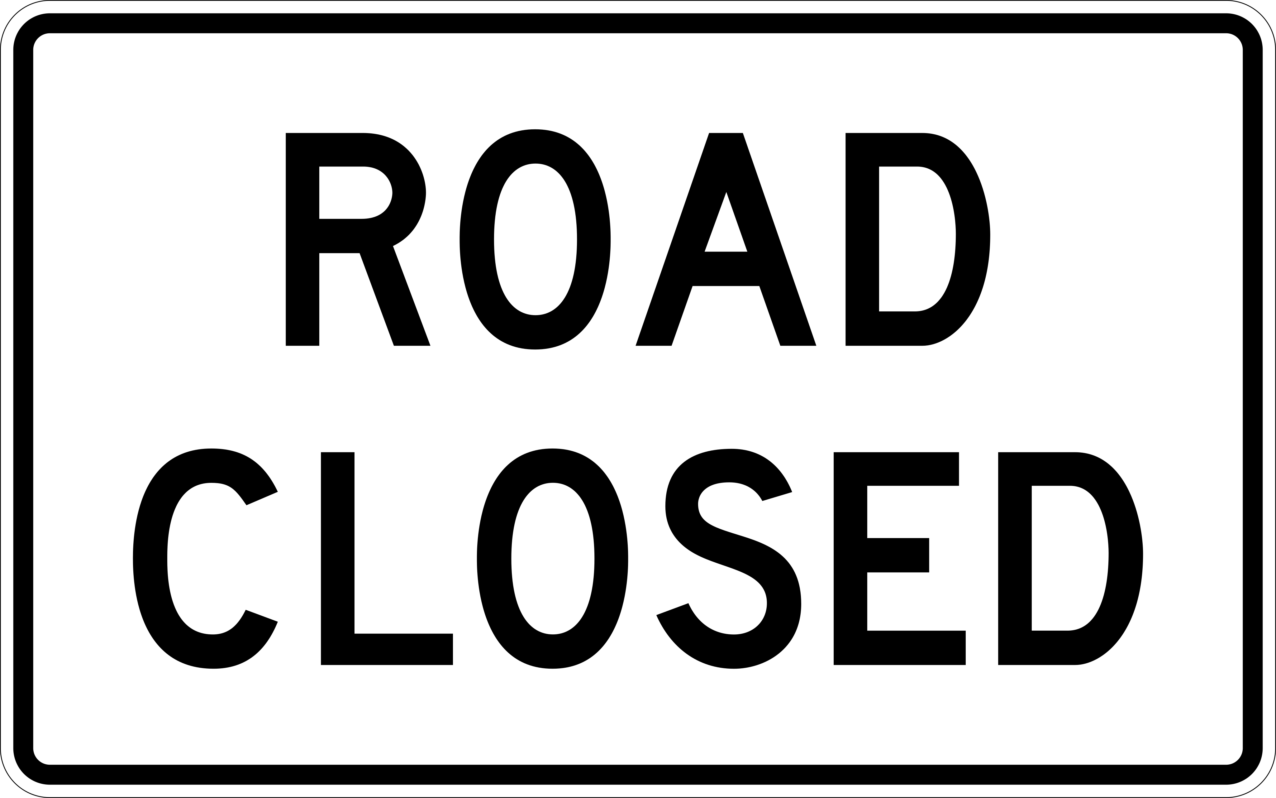
6. 道路通行止め。
この標識は道路通行止めを示します。通行止めの対象となる交通は表示地点より先へ進めません。許可された進入や代替ルートを示す標識に従ってください。
English • R11-2 • Road closed. Indicates that the road is closed to traffic at this point. Follow the signed alternative route.
出典
🔗 Commons.wikimedia.org
🔗 Mutcd.fhwa.dot.gov • FHWA: MUTCD, 11th Edition with Revision1, PDF page178
SVG source: Department of Transportation • Public domain • Original revision 2024-06-23. Wikimedia original unmodified.
Artwork verified against Mutcd.fhwa.dot.gov • official published diagram R11-2.
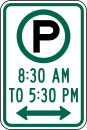
7. 駐車可。
この標識は駐車可能であることを示します。表示された条件、制限、現地の駐車規則に従って標識の対象区域に駐車できます。
English • R7-23 (2009 design) • Parking permitted during stated hours. Permits parking from 8:30 am to 5:30 pm in the area indicated by the arrows. Check other signs for conditions or restrictions outside those hours. This is the parking-permitted design documented as R7-23 in the 2009 MUTCD. It is not shown in the current manual; this caption identifies the older design.
出典
🔗 Commons.wikimedia.org
🔗 Mutcd.fhwa.dot.gov • FHWA: 2009 MUTCD, Figure2B-24, sheet1
SVG source: Federal Highway Administration - MUTCD • Public domain • Original revision 2012-09-23. Wikimedia original unmodified.
