


Location markerSpain
 Traffic rules
 Spain
32. Location marker
A location marker is a roadside reference showing a measured position along a road. It normally identifies a kilometre, mile or smaller interval measured from an established starting point on that route.
Kilometre and hectometre markers help road users, emergency services, road authorities and maintenance crews identify an exact section of road. They do not impose a speed limit, priority rule or access restriction.
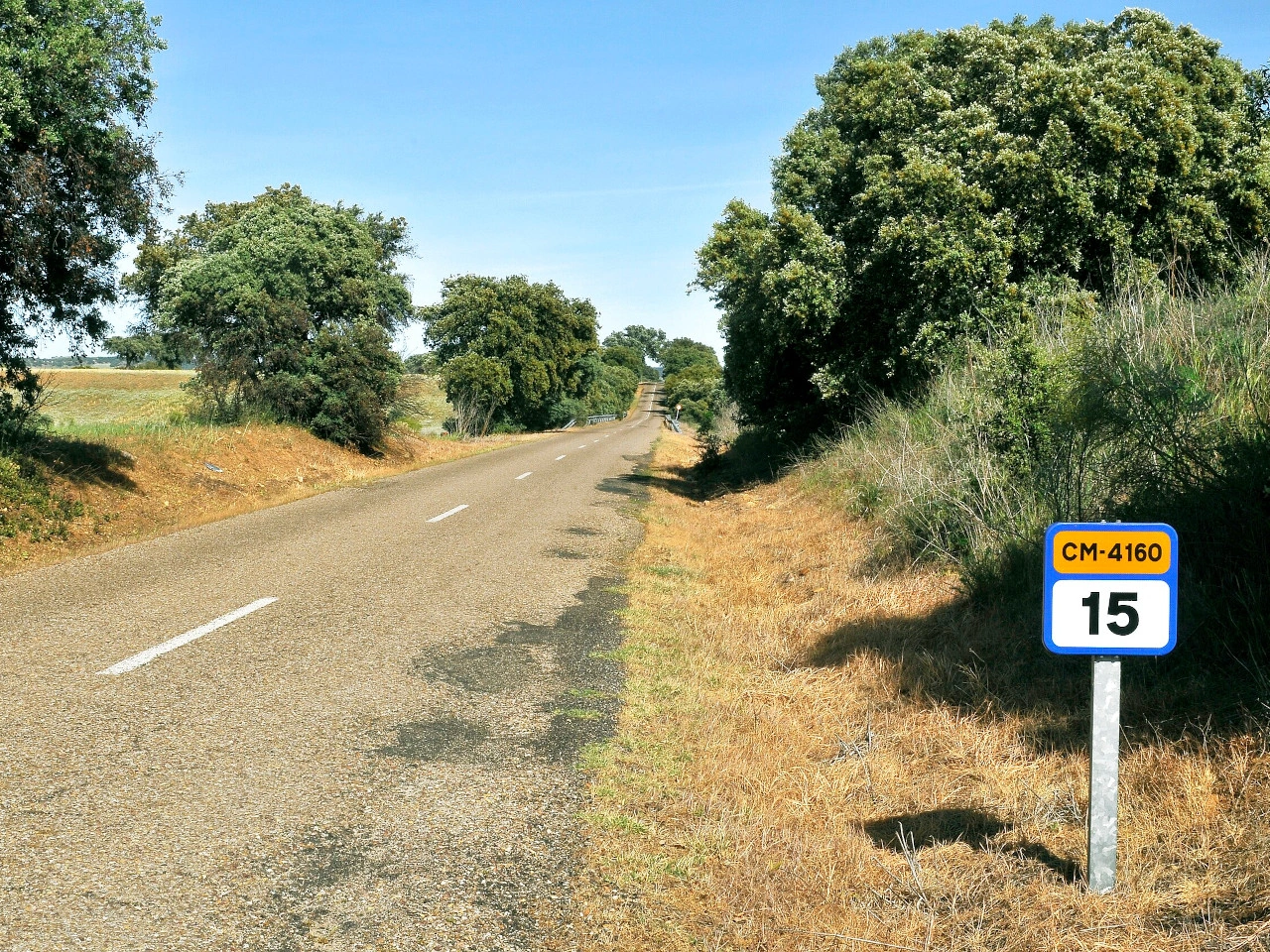
Wikimedia.org • LBM1948 • CC BY-SA
What does a roadside location marker tell you in Spain?
Kilometre-marker signs identify a kilometre point on the road whose route identification appears on the sign. The catalogue distinguishes motorway, toll-motorway, international-route and ordinary-road markers. Read the route identification as well as the kilometre number.
🔗 boe.es • Spain: catalogueS570-S575; articles90-94; practical location-reporting advice
🔗 boe.es • Spain: official sign catalogue, RoyalDecree465/2025
How can a location marker help in an emergency in Spain?
If you can see a marker safely, give the emergency operator the route number or road name, travel direction and marker reading. Additional landmarks, exits and GPS position can help. Do not leave a safe place or enter traffic to read a post.
🔗 boe.es • Spain: catalogueS570-S575; articles90-94; practical location-reporting advice
🔗 boe.es • Spain: official sign catalogue, RoyalDecree465/2025
Does a location marker set a speed limit or permit stopping in Spain?
No. A location marker is for orientation and road management; it does not itself set a speed limit, change priority or permit parking. Follow the actual traffic signs and stop only where the law and safety allow.
🔗 boe.es • Spain: catalogueS570-S575; articles90-94; practical location-reporting advice
🔗 boe.es • Spain: official sign catalogue, RoyalDecree465/2025


