


Traffic signsBelgium
 Traffic rules
 Belgium
 Priority signs
 Warning signs
 Prohibitory signs
 Mandatory signs
 Information signs
 Additional signs
Information signs
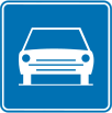
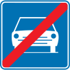
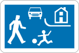
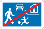
An information sign identifies a route, destination, facility or regulated road or area. Some carry legal consequences, so apply the actual sign meaning and local traffic code.





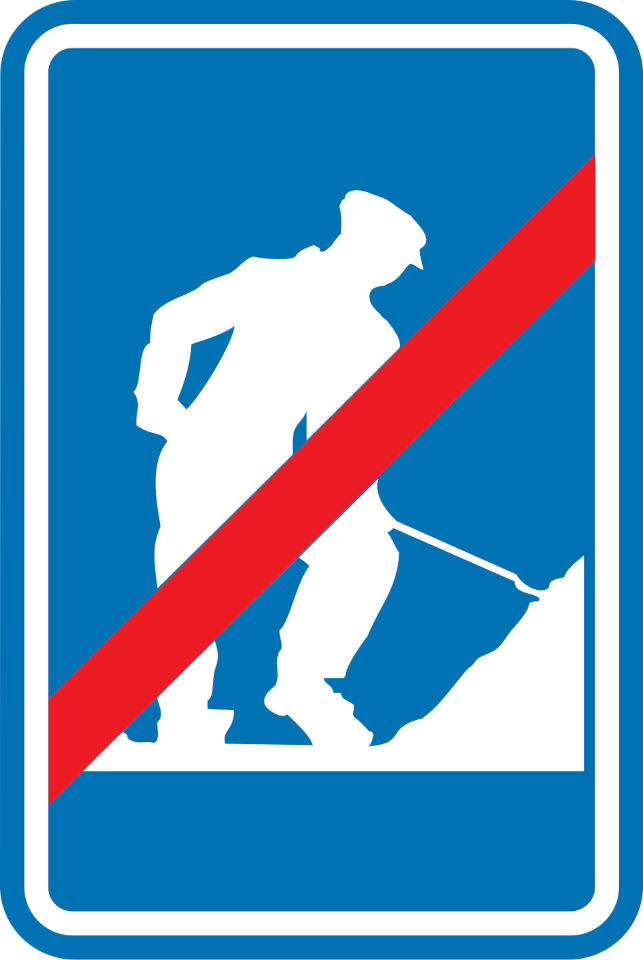
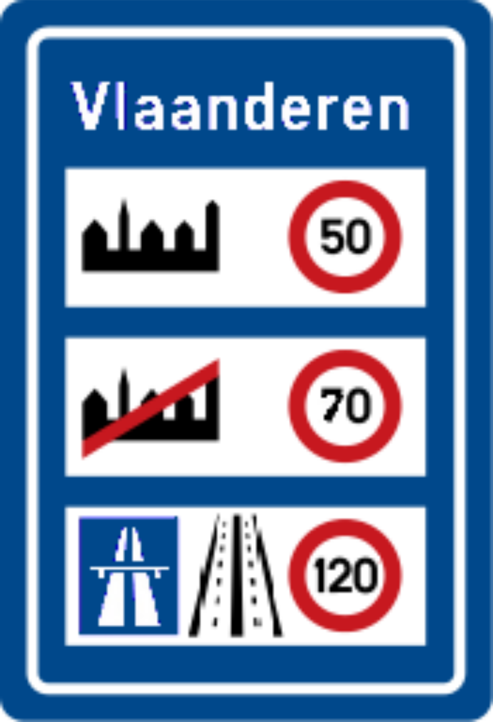
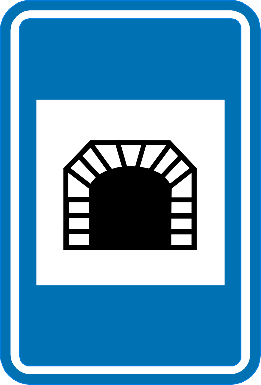
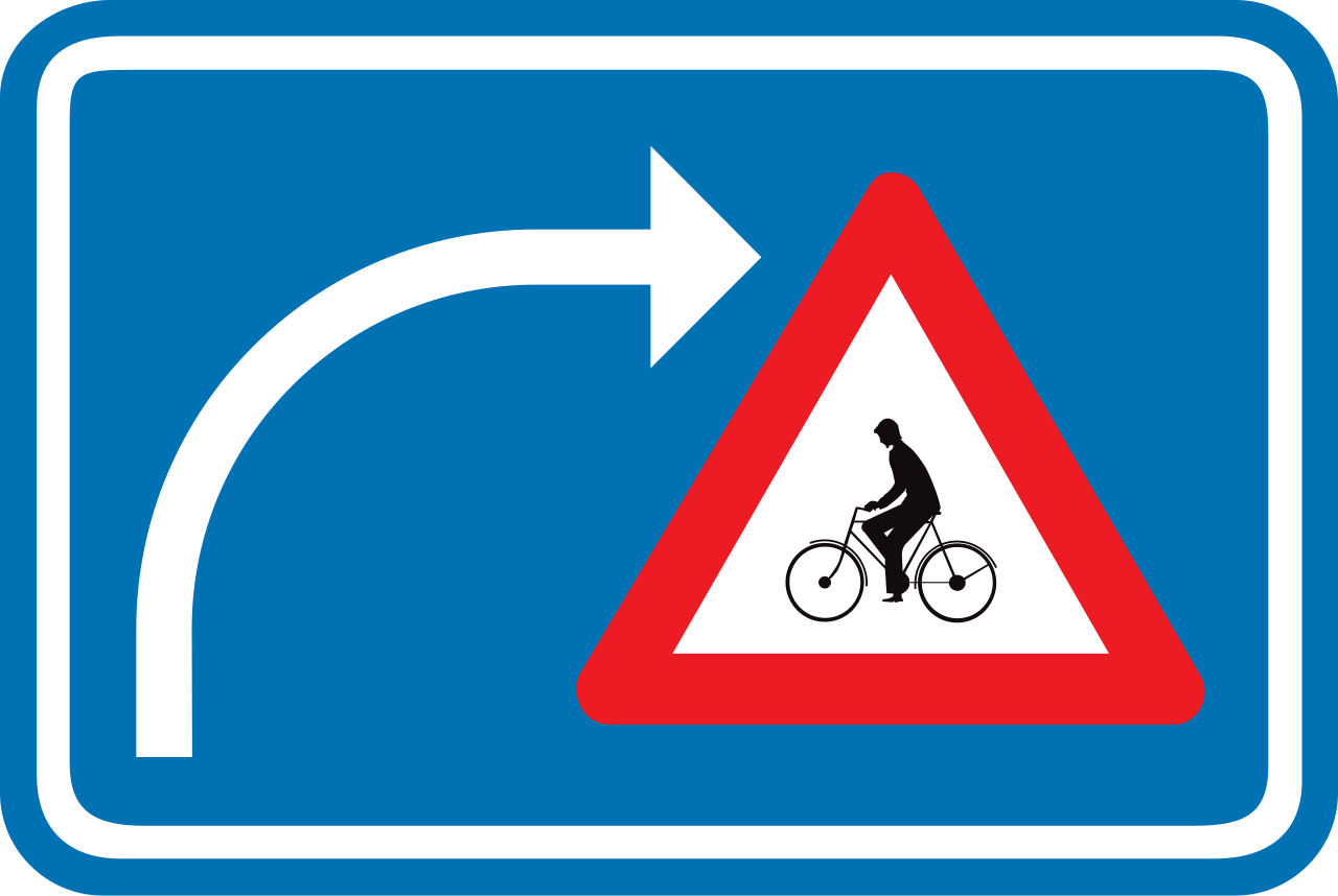

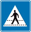
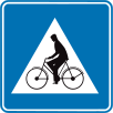

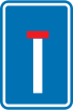


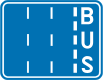

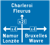
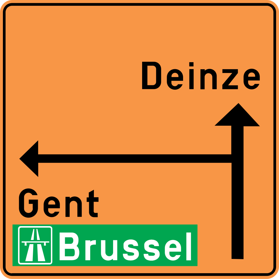
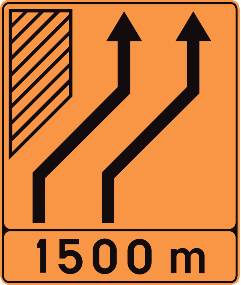

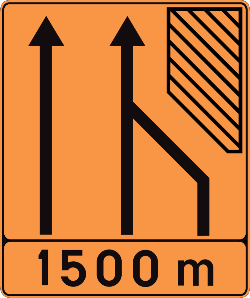















Can Belgian information signs carry legal consequences?
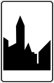
Yes. F1a/F1b mark entry to a built-up area, where its traffic rules apply.
Start of a built-up area.
English • Traffic sign F1b • Beginning of a built-up area. This sign is placed on the right at every entrance to a built-up area; it may be repeated on the left.
Français • Signal routier F1b • Commencement d'une agglomération. Ce signal est placé à droite, à chaque accès d'une agglomération; il peut être répété à gauche.
Nederlands • Verkeersbord F1b • Begin van een bebouwde kom. Dit verkeersbord wordt rechts geplaatst op elke toegangsweg tot een bebouwde kom; het mag links herhaald worden.
Sources
SVG source: Commons.wikimedia.org
Vascer • Public domain. Original SVG unmodified.
🔗 Wegcode.be • Artikel 71. Aanwijzingsborden (NL)
🔗 Codedelaroute.be • Article 71. Signaux d'indication (FR)
How can you recognise a built-up area in Belgium?
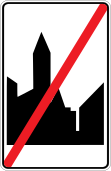
A built-up area begins at a built-up-area sign showing a buildings symbol, which may also display the place name. It ends at the corresponding end sign. After that sign, the rules applicable outside built-up areas take effect unless another sign indicates otherwise.

51. Parking only allowed for the disabled
This traffic sign indicates that parking is reserved for people with disabilities. Use of the parking space is subject to the required permit, badge or other conditions specified by the applicable local rules.
52. Parking partly on the roadway and verge
This traffic sign indicates parking partly on the roadway and adjoining verge or pavement. Vehicles must park in the position shown by the sign, with part of the vehicle on the roadway and part on the adjoining verge or pavement.
English • Traffic sign E9f • Parking partly on the shoulder or pavement is compulsory.
Français • Signal routier E9f • Stationnement obligatoire en partie sur l'accotement ou le trottoir.
Nederlands • Verkeersbord E9f • Verplicht parkeren deels op de berm of op het trottoir.
Sources
SVG source: Commons.wikimedia.org
Vascer • Public domain. Original SVG unmodified.
🔗 Wegcode.be • Artikel 70. Verkeersborden betreffende het stilstaan en het parkeren (NL)
🔗 Codedelaroute.be • Article 70. Signaux relatifs à l'arrêt et au stationnement (FR)
53. Parking only allowed on the road
This traffic sign indicates that parking is only allowed on the road. Vehicles must park entirely on the roadway in the position shown by the sign rather than on the adjoining verge or pavement.
English • Traffic sign E9g • Parking on the carriageway is compulsory.
Français • Signal routier E9g • Stationnement obligatoire sur la chaussée.
Nederlands • Verkeersbord E9g • Verplicht parkeren op de rijbaan.
Sources
SVG source: Commons.wikimedia.org
Vascer • Public domain. Original SVG unmodified.
🔗 Wegcode.be • Artikel 70. Verkeersborden betreffende het stilstaan en het parkeren (NL)
🔗 Codedelaroute.be • Article 70. Signaux relatifs à l'arrêt et au stationnement (FR)
54. Parking only allowed on the verge or pavement
This traffic sign indicates that parking is only allowed on the verge or pavement. Vehicles must park in the position shown by the sign rather than on the roadway.
English • Traffic sign E9e • Parking on the shoulder or pavement is compulsory.
Français • Signal routier E9e • Stationnement obligatoire sur l'accotement ou sur le trottoir.
Nederlands • Verkeersbord E9e • Verplicht parkeren op de berm of op het trottoir.
Sources
SVG source: Commons.wikimedia.org
Vascer • Public domain. Original SVG unmodified.
🔗 Wegcode.be • Artikel 70. Verkeersborden betreffende het stilstaan en het parkeren (NL)
🔗 Codedelaroute.be • Article 70. Signaux relatifs à l'arrêt et au stationnement (FR)
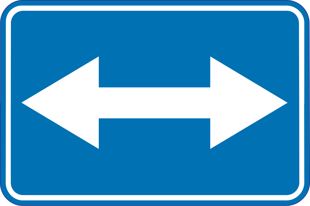
55. Passing left or right allowed
This traffic sign indicates that an obstruction or traffic island may be passed on either the left or the right. Choose the safe and permitted side while following the road layout and any additional signs or markings.
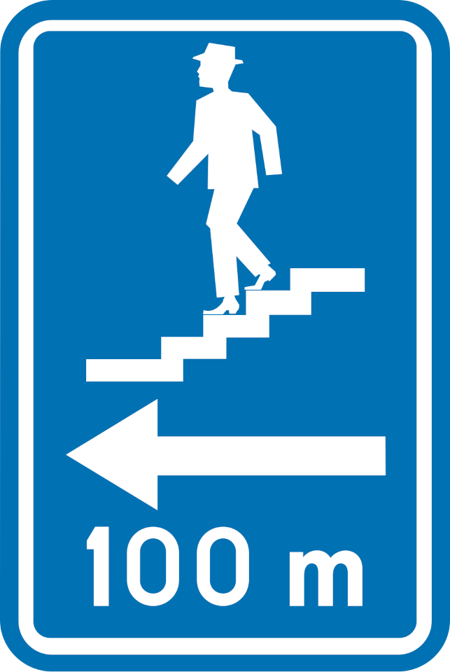
56. Direction to pedestrian underpass
This traffic sign indicates the direction to a pedestrian underpass. Follow the indicated direction to reach the pedestrian route crossing below the road, railway or other obstacle.
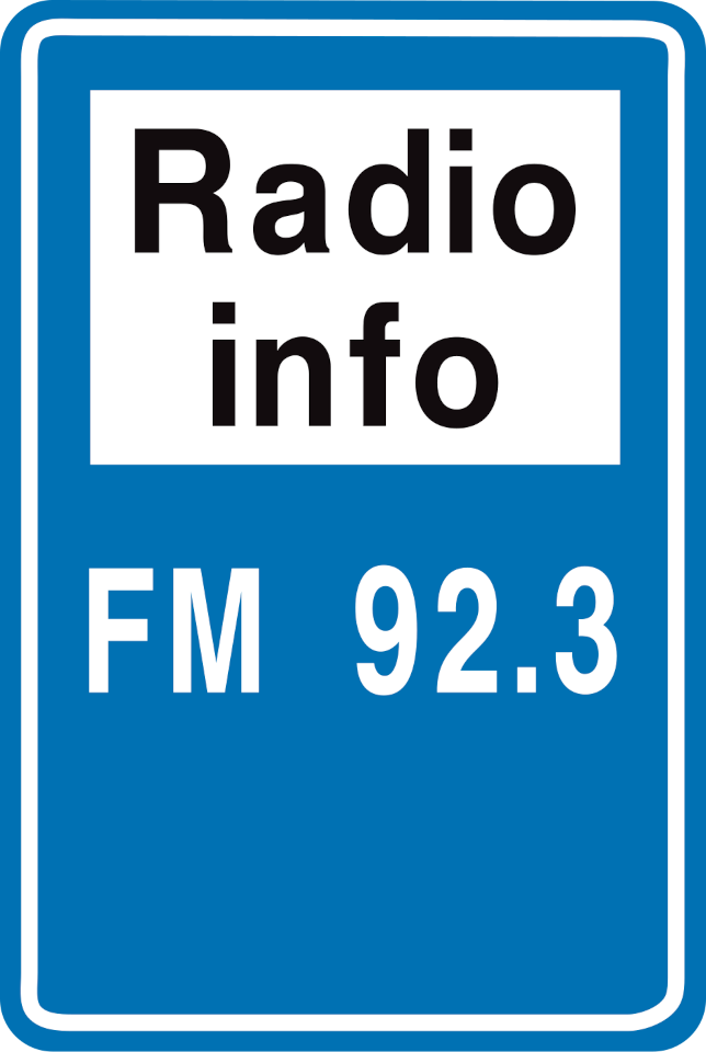
57. Traffic information radio
This traffic sign indicates a radio frequency providing information for road users. Tune to the frequency shown to receive the available traffic or travel information.
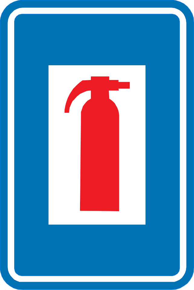
58. Fire extinguisher
This traffic sign indicates the location of a fire extinguisher that is available for use in an emergency.
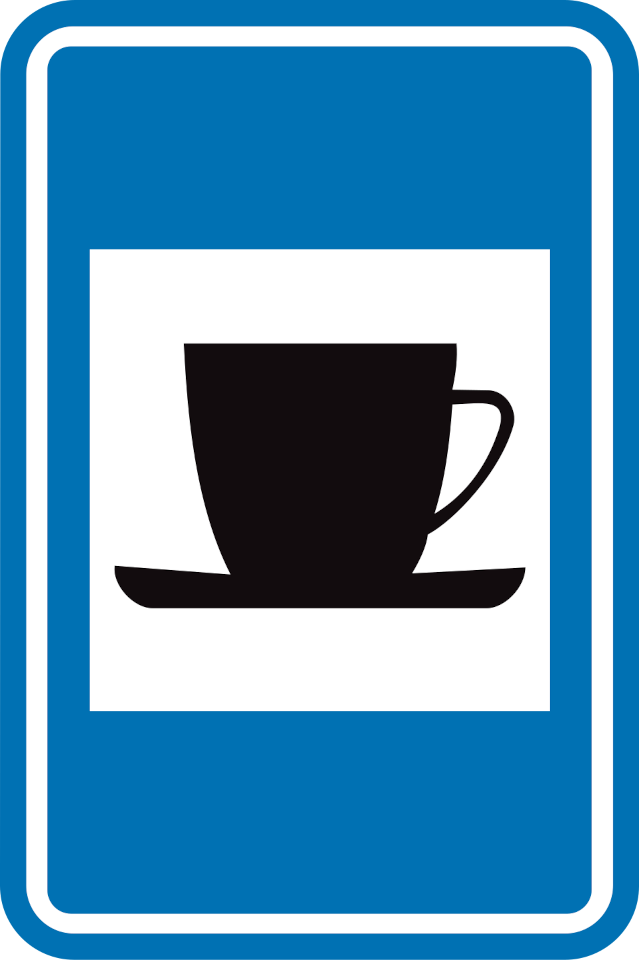
59. Café
This traffic sign indicates a café. A café is a place where drinks and light refreshments are served, and may also offer simple meals.
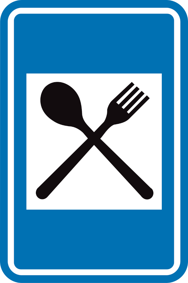
60. Restaurant
This traffic sign indicates a restaurant. A restaurant is a place where prepared meals and drinks are served to customers.
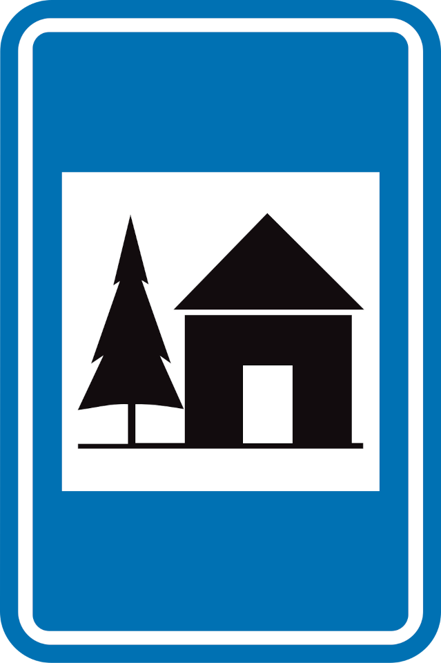
61. Youth hostel
This traffic sign indicates a youth hostel. A youth hostel provides relatively simple accommodation, often with shared rooms or communal facilities, and is commonly used by individual travellers and groups.
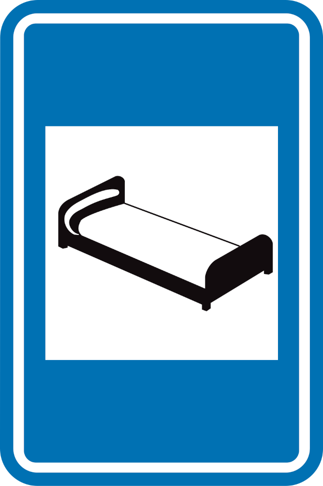
62. Hotel
This traffic sign indicates a hotel. A hotel provides overnight accommodation in individual rooms and may offer additional services such as reception, meals or other guest facilities.
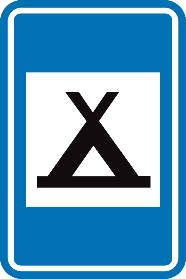
63. Camping site
This traffic sign indicates a camping site. The designated area provides accommodation for people staying in tents.
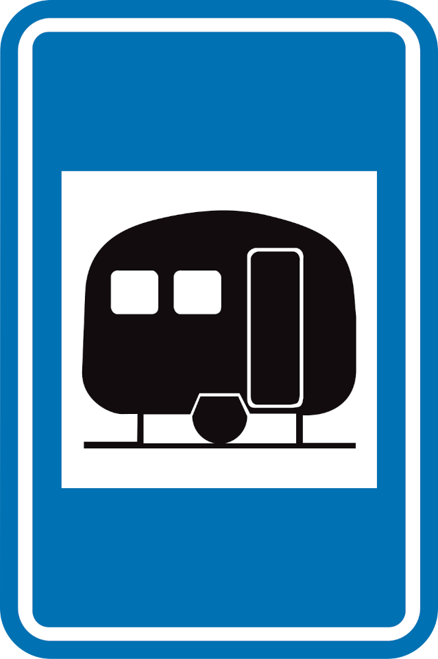
64. Caravan site
This traffic sign indicates a caravan site. The designated area provides parking or accommodation for caravans.
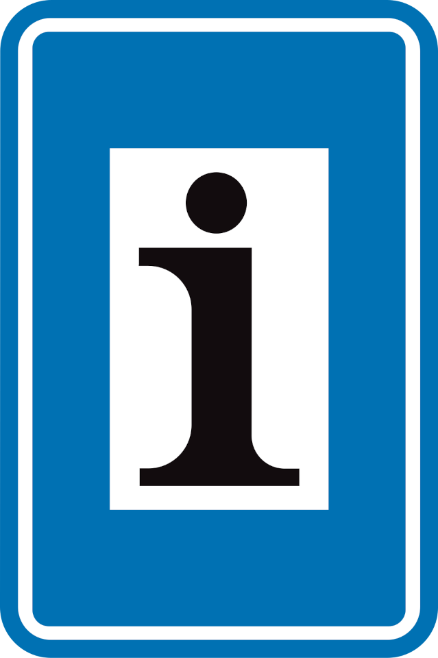
65. Information point
This traffic sign indicates an information point. Information about the local area, destinations or available services can be obtained there.
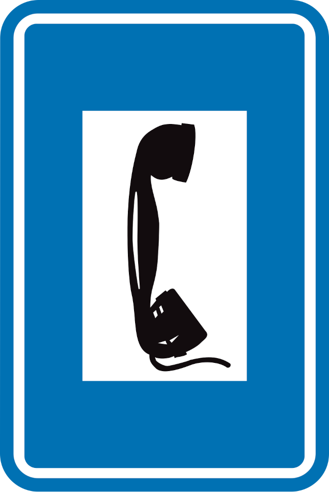
66. Telephone
This traffic sign indicates the location of a telephone available for public use.
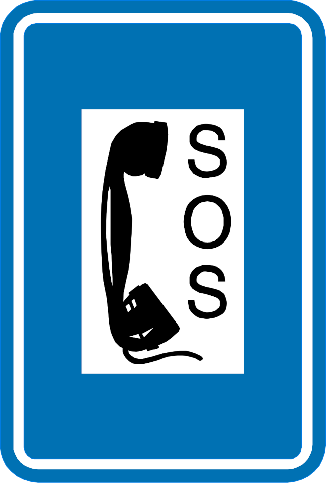
67. Emergency telephone
This traffic sign indicates the location of an emergency telephone. The telephone provides a direct means of requesting assistance in an emergency.
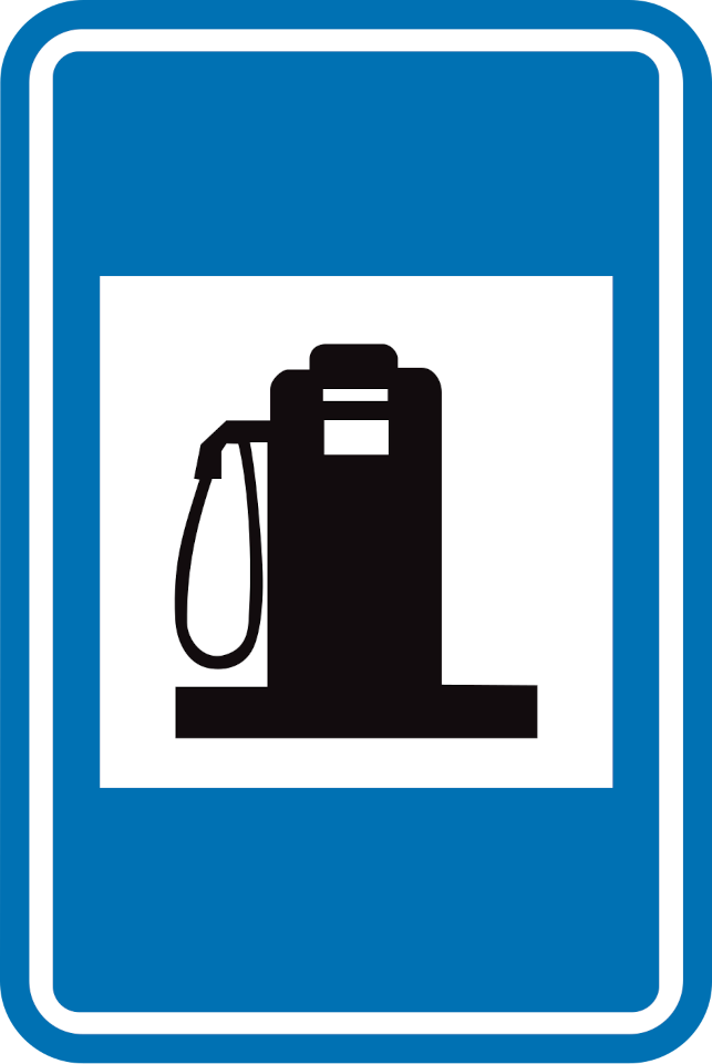
68. Petrol station
This traffic sign indicates a petrol station. Fuel for motor vehicles is available at the indicated location. The available fuel types may be shown on the sign or accompanying information.
69. Crossroad shape
This traffic sign shows the shape or layout of an upcoming junction. The diagram indicates how the approaching road and connecting roads are arranged.
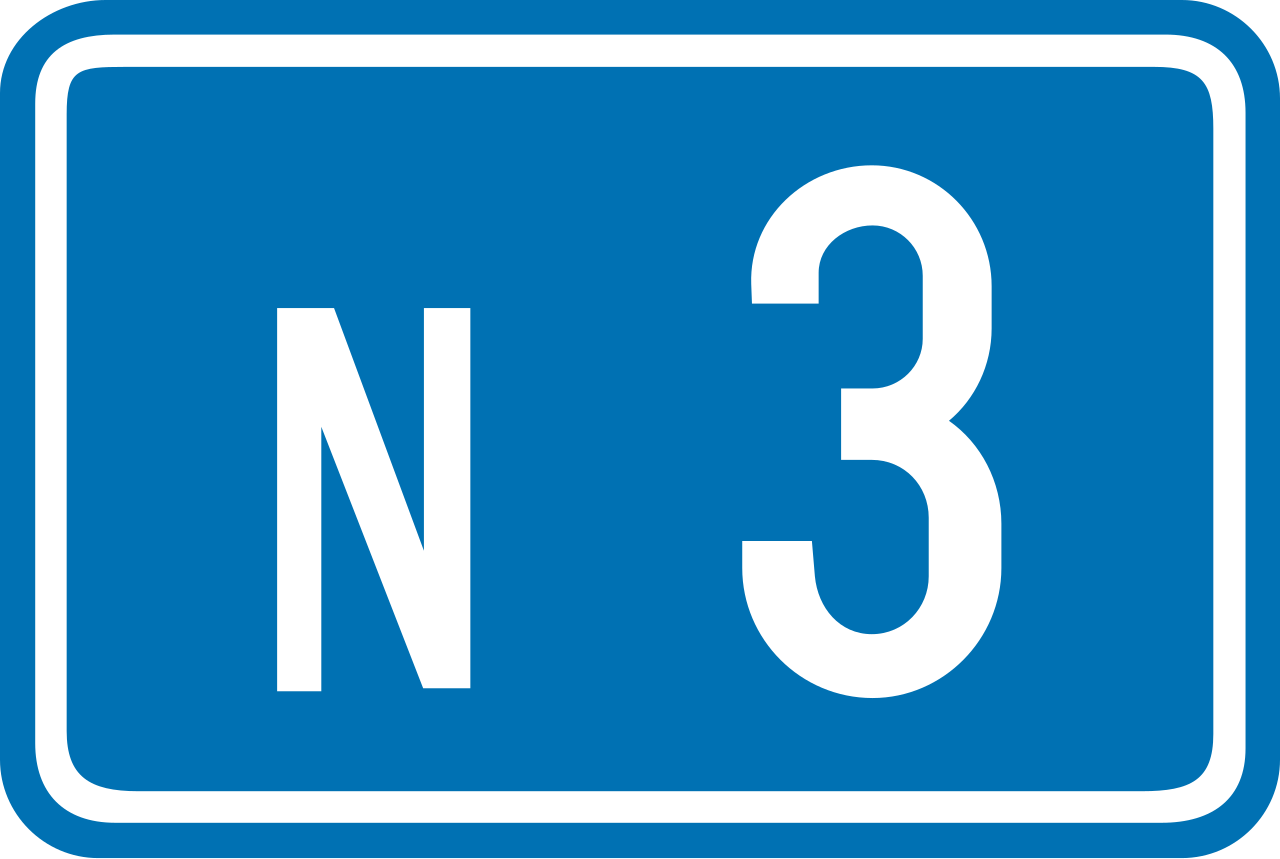
70. Ordinary road number
This traffic sign indicates an ordinary road number. The number identifies the road or route and can be used to follow directions and route signs.
71. E-route number
This traffic sign indicates an E-route number. E-routes form part of the international European road network and are identified by the letter E followed by a route number.
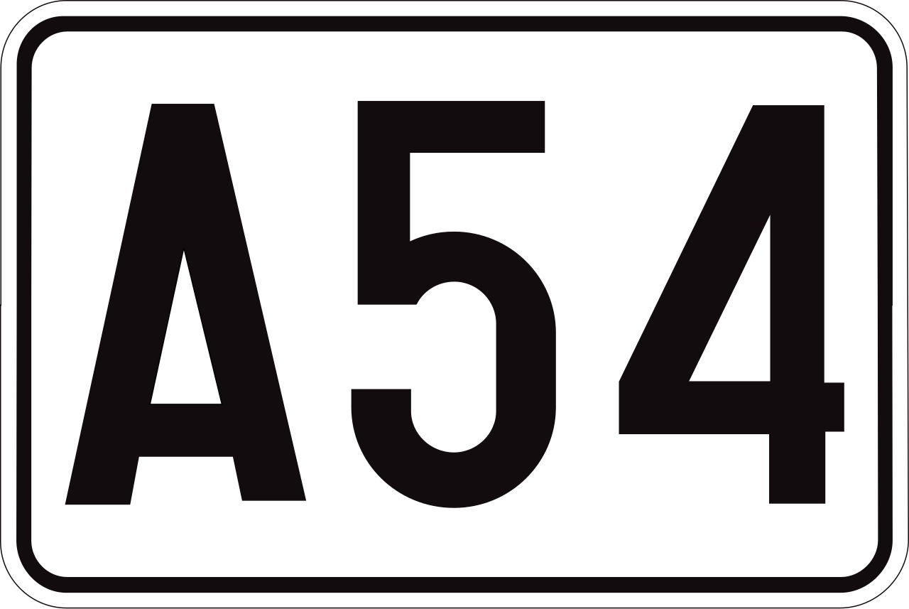
72. Motorway number
This traffic sign indicates a motorway number. The number identifies the motorway and helps road users follow the correct route.
73. Ring road number
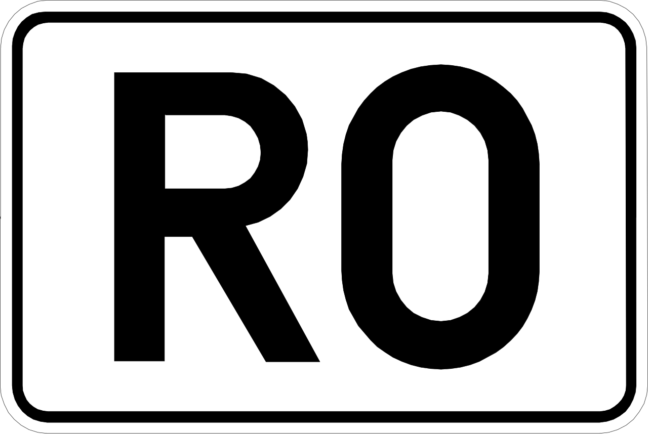
This traffic sign indicates a ring road number. The number identifies a route that forms or follows a ring around a city or another area.
74. Emergency exit
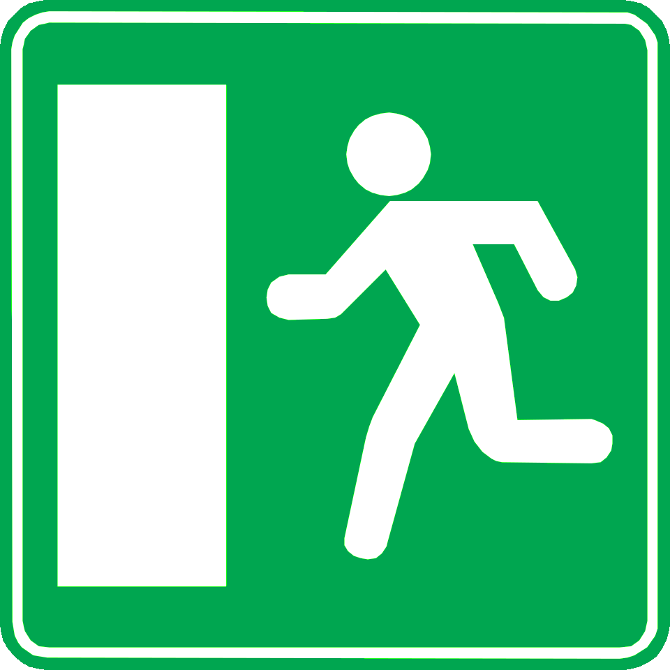
This traffic sign indicates an emergency exit. The exit provides an evacuation route to be used when leaving the area in an emergency.
75. Direction to emergency exit
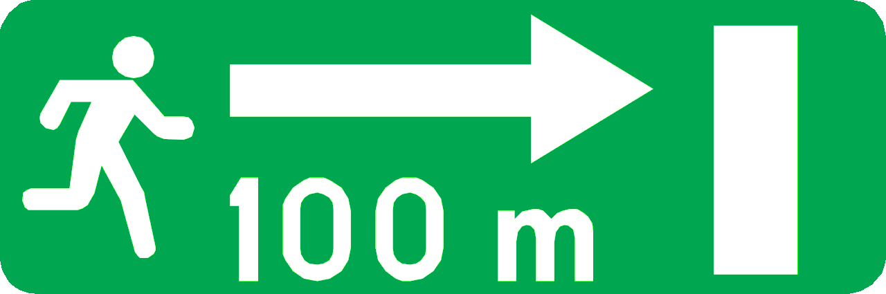
This traffic sign indicates the direction to an emergency exit. Follow the indicated direction to reach the evacuation route or emergency exit.
76. Signpost with distance to location
This traffic sign indicates the direction and remaining distance to the named destination.
77. Direction to the motorway
This traffic sign indicates the direction to a motorway and the destination reached by following it.
78. Recommended route for cyclists
This traffic sign indicates a recommended route for cyclists toward the named destination. Follow the arrow to continue along the suggested cycling route.
79. Recommended route for cyclists to a tourist destination
This traffic sign indicates a recommended route for cyclists to a tourist destination. Follow the arrow to continue along the suggested cycling route.
80. Direction to a restaurant
This traffic sign indicates the direction to the named restaurant. Follow the arrow to reach it.
81. Signpost to ring road
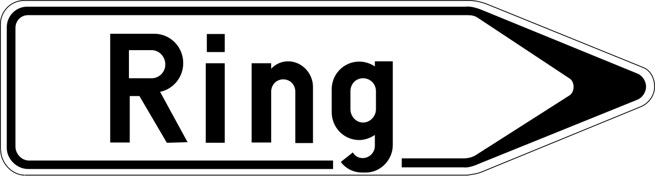
This traffic sign indicates the direction to a ring road that routes traffic around a city or town. Follow the arrow to join the ring road.
82. Signpost to river for tourists
This traffic sign indicates the direction to the named river or another tourist attraction associated with it. Follow the arrow to reach the destination.
83. River
This traffic sign indicates the river or other watercourse being crossed. It is an information sign and does not impose a traffic rule.
84. Direction to a railway station
This traffic sign indicates the direction to a nearby railway station. Follow the arrow to reach the station serving the named location.
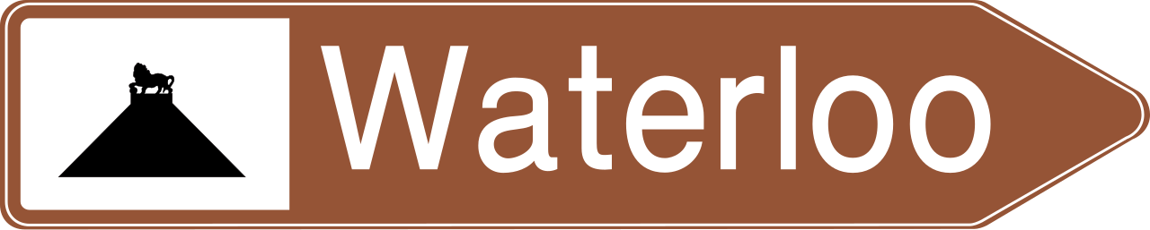
85. Signpost to tourist location
This traffic sign indicates the direction to the named tourist attraction or place of interest. The symbol may identify the type of attraction or a well-known landmark.
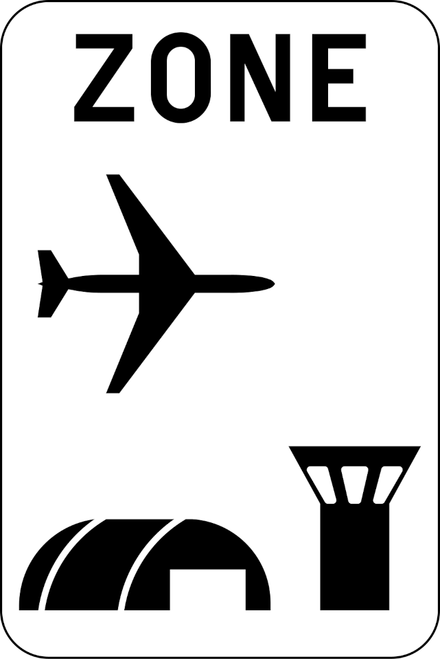
86. Start of airport zone
This traffic sign indicates the start of an airport zone. Special traffic rules or access conditions may apply within the zone. Follow the applicable traffic signs and any instructions given by authorised personnel.
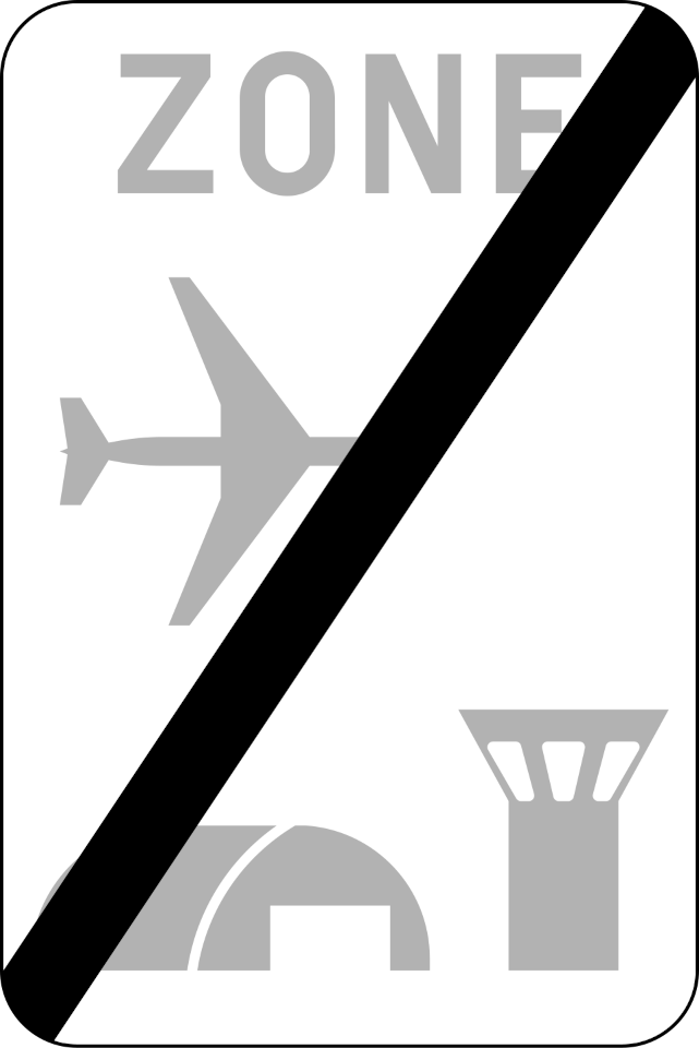
87. End of airport zone
This traffic sign indicates the end of the airport zone. Special rules associated with the airport zone end at this point. Other traffic rules or separately indicated restrictions may still apply.
